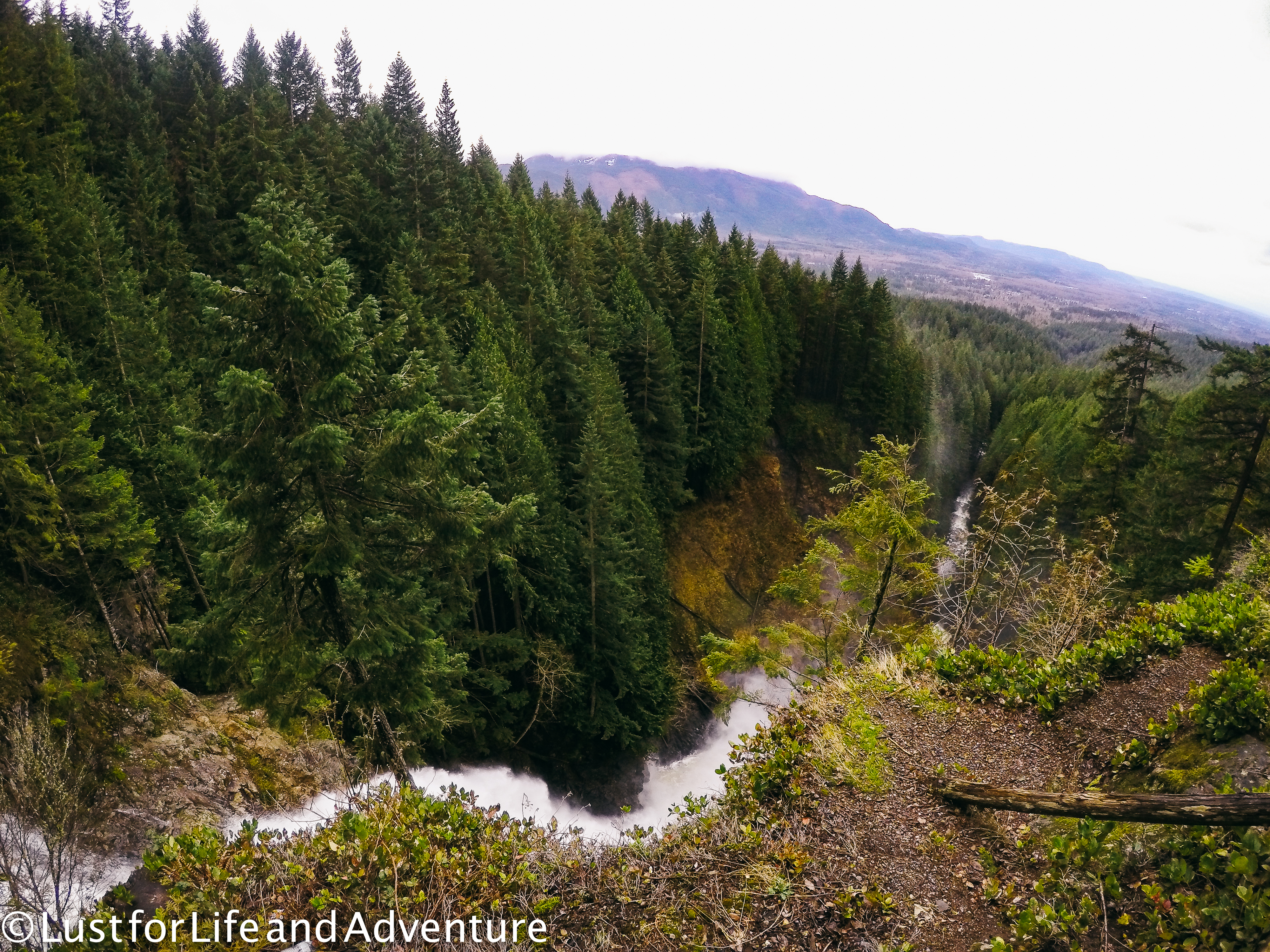
Wallace Falls is a hike I did a lot in my early days of hiking. When I lived in Mukilteo, the Stevens Pass corridor was a lot closer and it’s where I spent much of my outdoor time. Now living in Seattle, I don’t get out there as much, so it was a nice change of pace to go back to my old stomping grounds for this hike. At 5.6 miles round trip and 1300ft elevation gain, Wallace Falls is one of the last of the “easy” hikes Lori and I are doing on our Rainier training regime.
We get to the trailhead a little before 8am and there are only a few other cars in the parking lot. I’ve upped the weight in my pack to 20lbs by filling it up with cans of food. Whatever works, right? Soon I’ll need to get up to 50lbs as that’s what we’re expected to carry to Camp Muir. Eek!
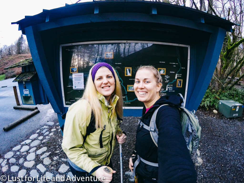
It’s not my favorite start to a trail ever – the first quarter mile or so is directly underneath crackling power lines. You can almost feel the electricity in the air. Fortunately it’s short-lived and soon we’re in the trees and greeted by this lovely message (sorry for the blurry shot):
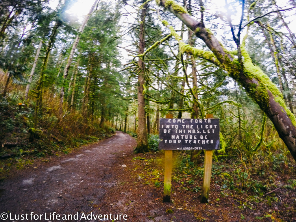
I believe we shall do just that! The trail to Wallace Falls actually has two routes – the woody trail that runs along the river, and the railroad grade that heads inland.
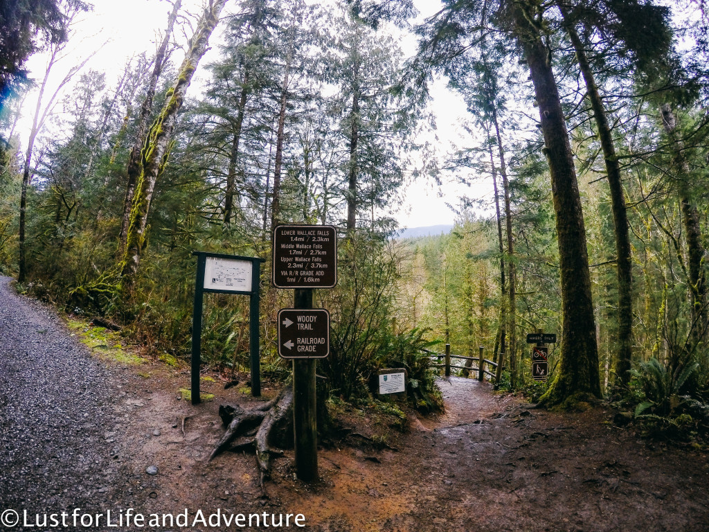
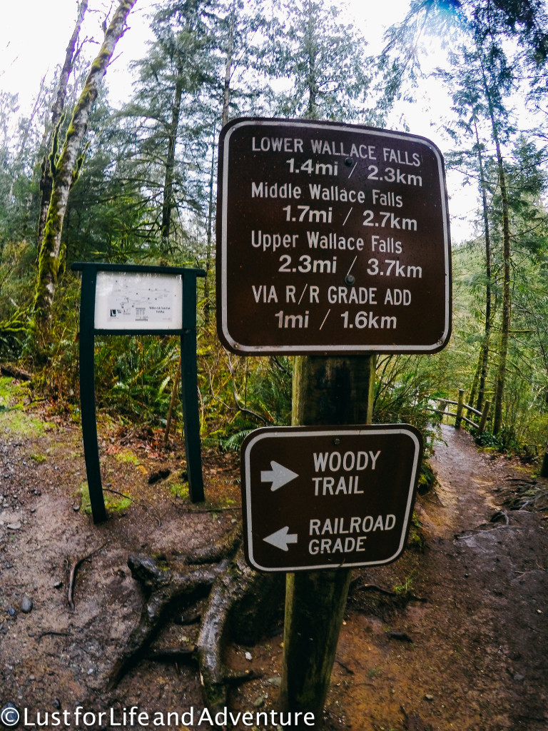
The railroad grade is a mile longer, but more gradual and the path is smooth. The path along the river isn’t necessarily hard, it’s just a bit more rustic, but you can’t beat the views. We take the woody trail up and the railroad grade back down.
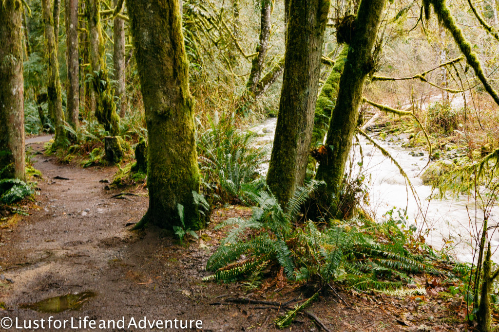
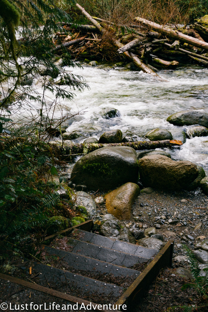
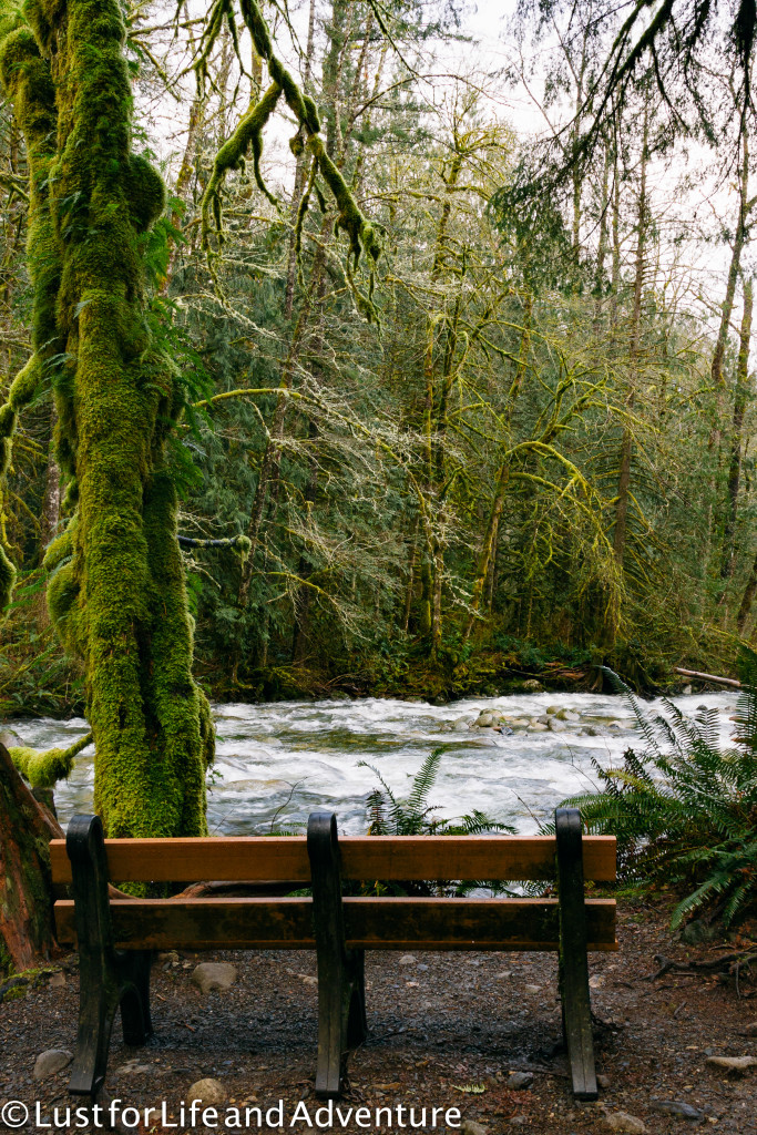
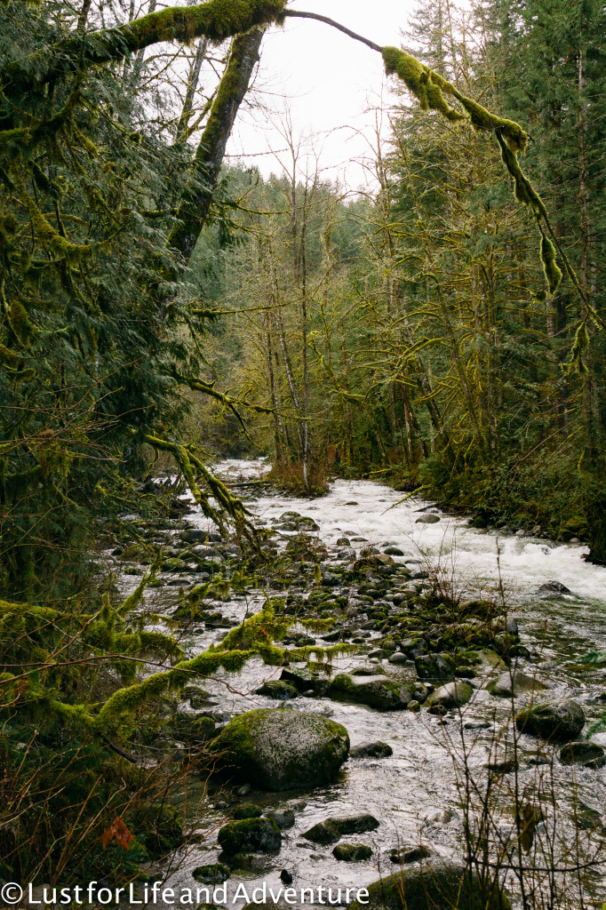
We take a side trail to a little waterfall because you know, there’s no such thing as too many waterfalls, right?
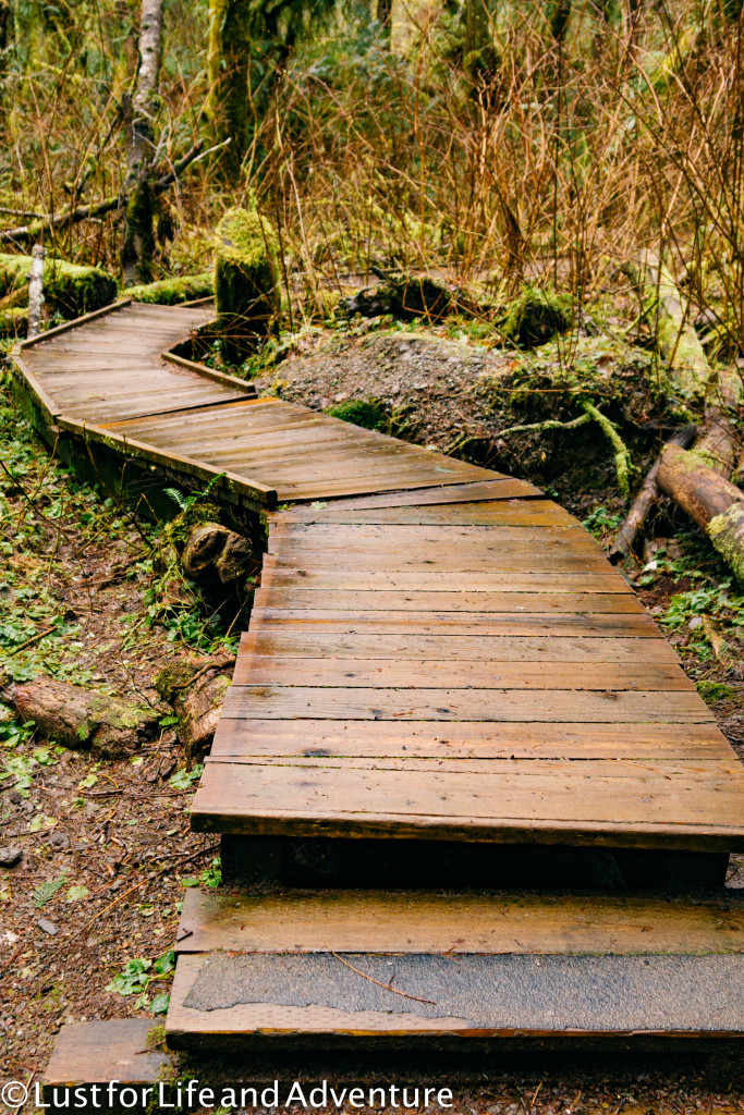
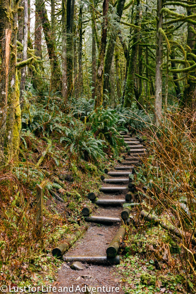
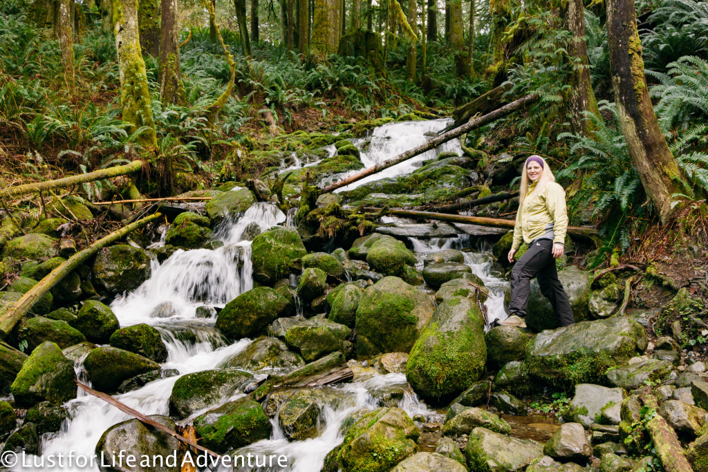
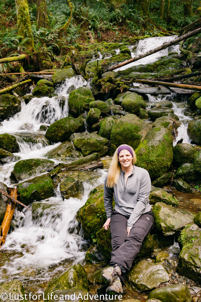
Can we stop for a minute and talk about how great Lori’s hair looks in the picture above? She looks like she could be on an outdoor gear photo shoot or something. I’m having major hair envy. Anyhoo, back on the trail, I stop every other yard to take more pictures.
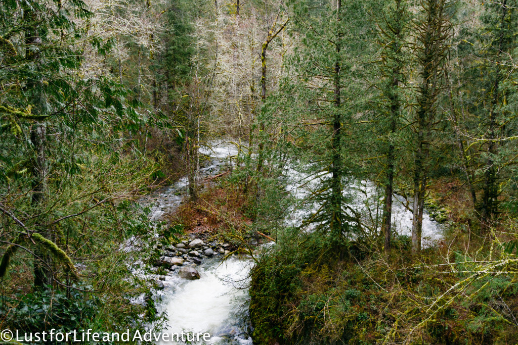
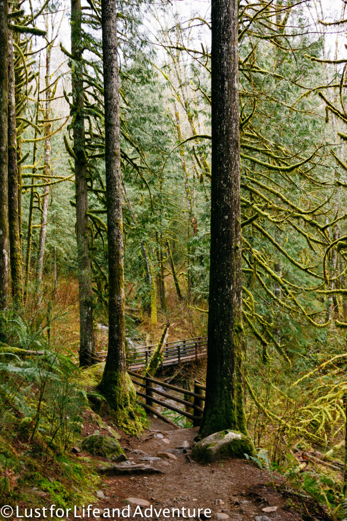
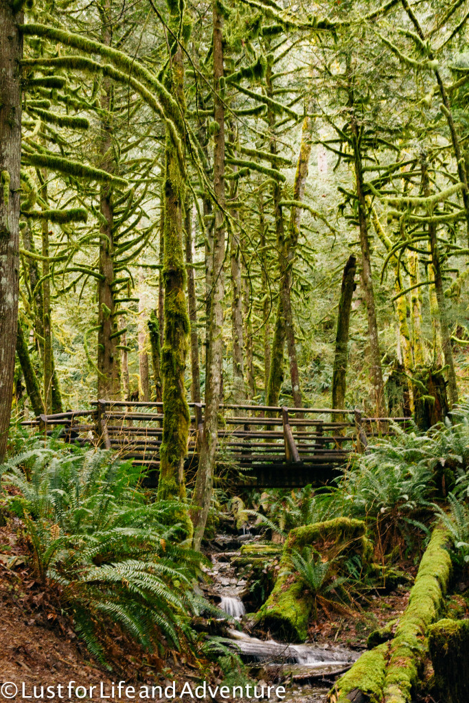
Lori is incredibly patient with me, but I’m certainly hindering our workout. I’ll put the camera away soon, I swear. Just one more photo…or 2.
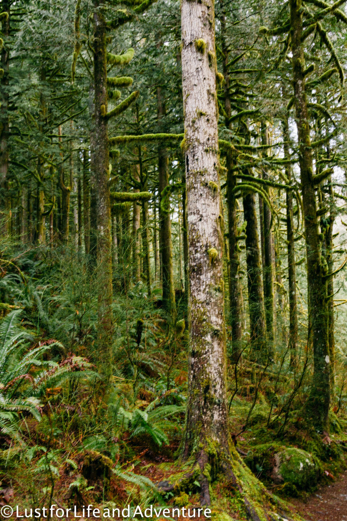
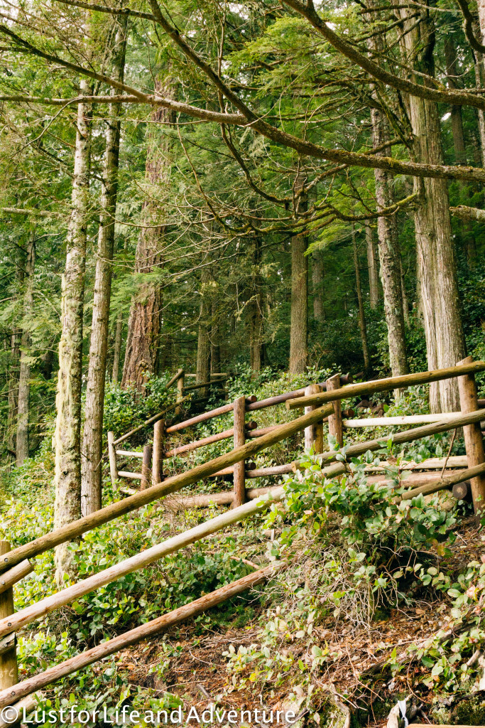
It doesn’t take long for us to reach the lower falls. The sound of the water thundering over the rocks is almost deafening. Lori and I have to shout to each other to be heard.
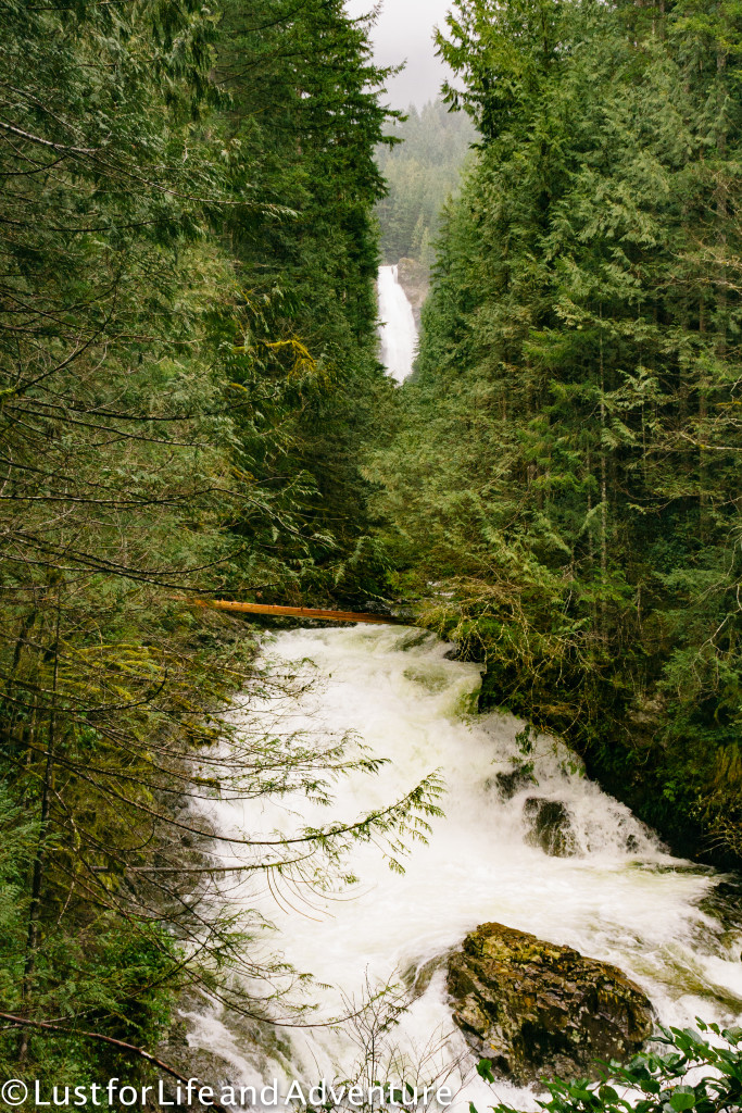
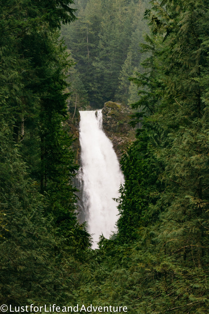
Confession – every time I’ve hiked this trail in the past, I’ve turned around here. The lower falls are pretty! You can see the middle falls in the distance! Why go any further? But I’ve already decided to go all the way to the the upper falls on this trip. Next stop – the middle falls!
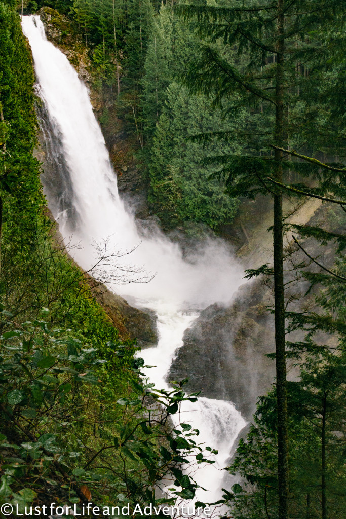
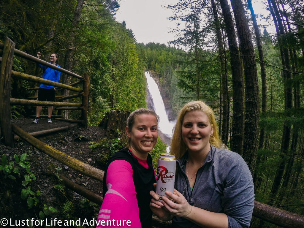
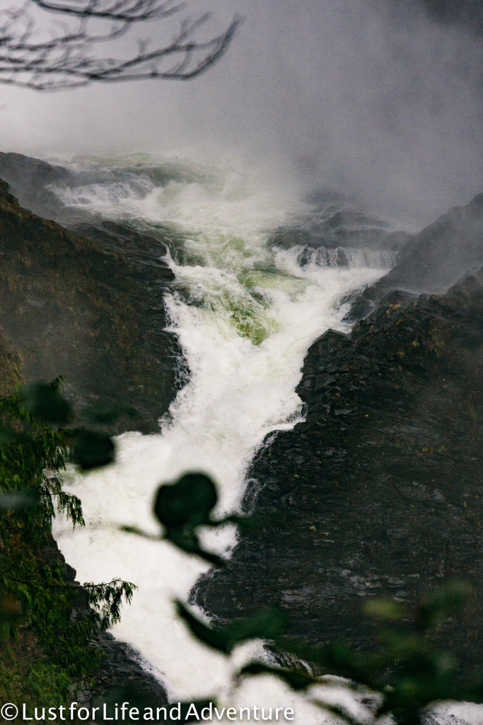
We stop briefly, then make the final push to the upper falls. Let me tell you, it’s worth it. Don’t be like old me and turn around at the lower falls. The view is excellent, and you can feel the spray from the water from here.
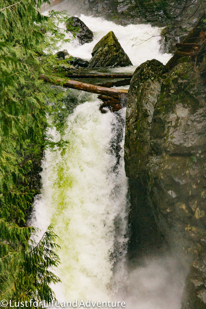
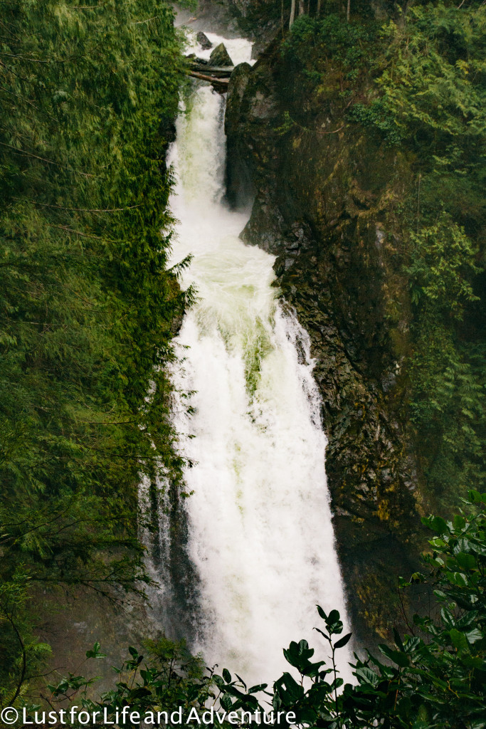
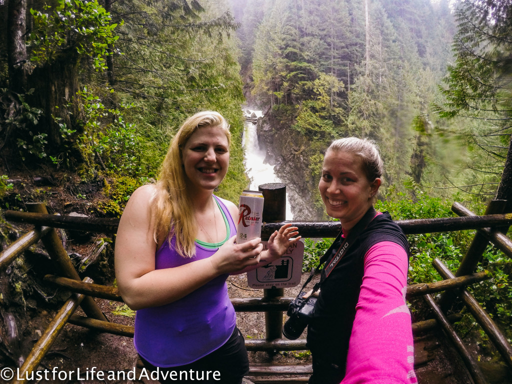
There’s almost no one else up here, and after those few leave we have the place to ourselves. We have a snack, take some photos and finally head back down. At the top of the middle falls, we stop at another lookout, and I think this is my favorite of the whole trail. You can literally see for miles.
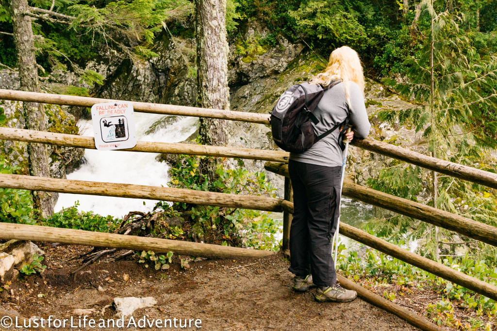
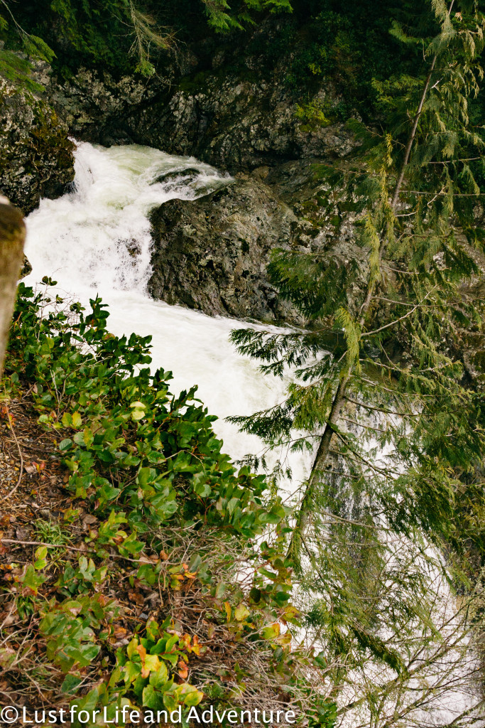
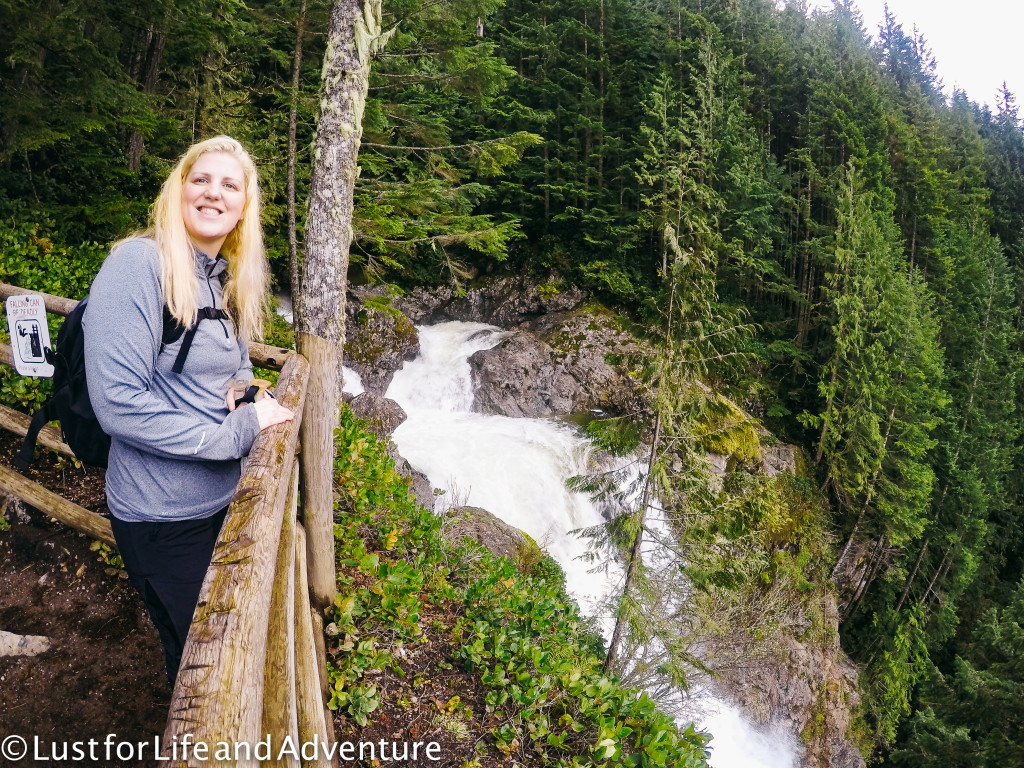
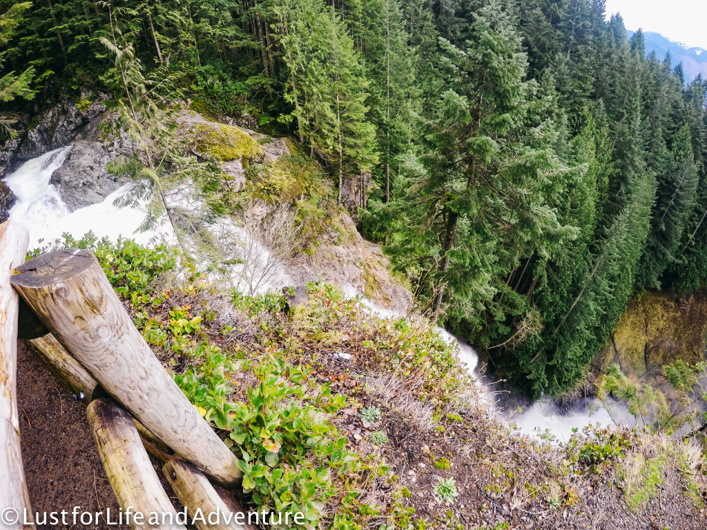
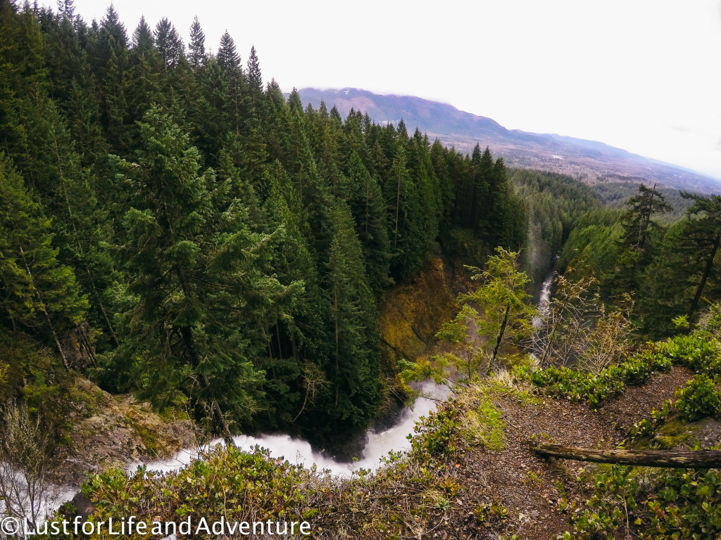
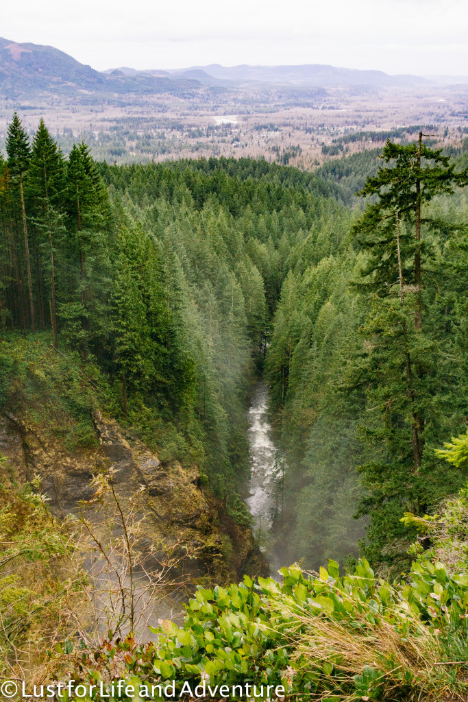
You guys. I can’t believe this beautiful place is just an hour from my house! I’m so lucky to get to live in this amazing outdoor paradise.
The hike takes us almost exactly 4 hours round trip, including my many photo stops. It’s a perfect little morning hike. We see tons of people on the way down, and when we get back to the parking lot, it’s packed full. So glad we got here when we did!


