Not the Mt Washington in New Hampshire. This Mt Washington is about an hour east of Seattle and offers some of my favorite views from the summit. At 8.5 miles round trip and 3250ft of elevation gain, this is our hardest hike yet and definitely well into the difficult range. Plus, I’m carrying about 50lbs on my back to simulate what I’ll be carrying on Rainier. Yikes!
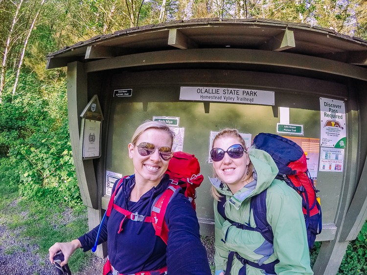
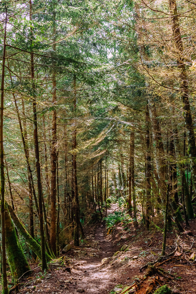
The first half of the trail is blessedly in the trees. Today is exceptionally hot and I’ll sacrifice the views to take all the shade I can get.
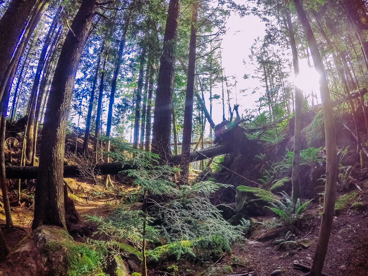
About halfway up, we come to an open area. Oh man, is it hot. It has to be pushing 90 by now. We stop here for a break before pushing on. There are a lot of rocks to sit on and the space is open, but I can’t wait to get back into the shade.
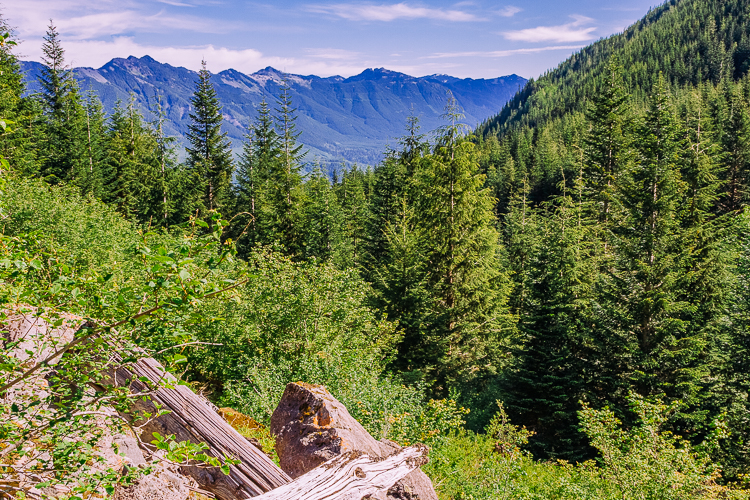
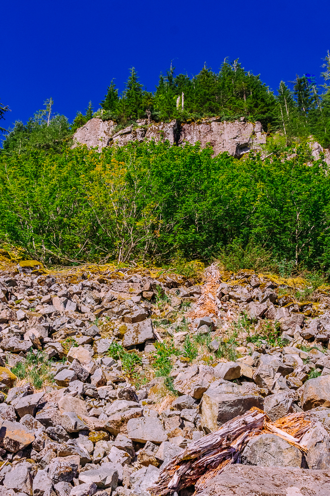
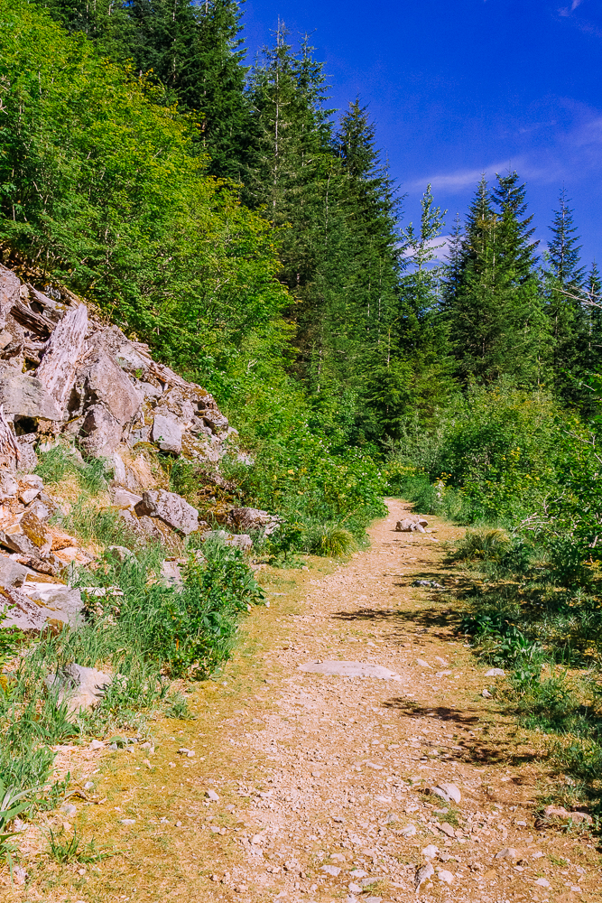
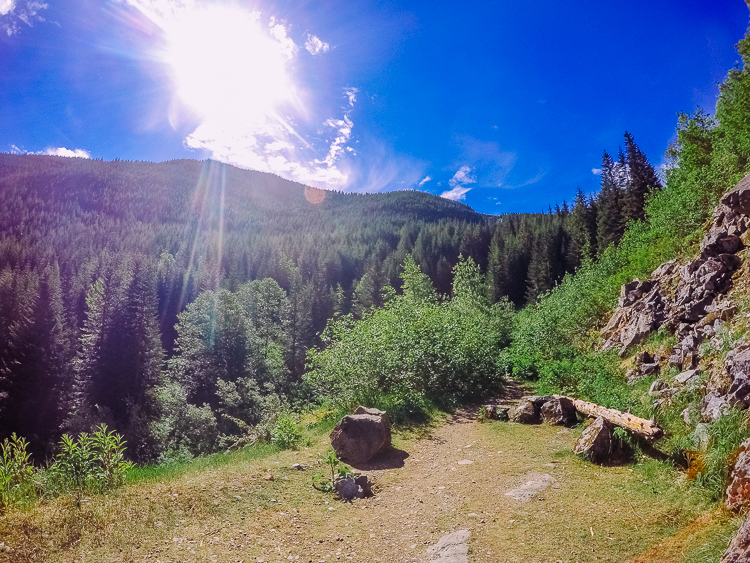
From here, the hike gets even more challenging. The trail moves in and out of the shade, there are a few scrambles to get over, and the mosquitoes start to come out en mass. It feels like we’ll never get there! Why is it so steep? Why is it so hard? Why are we doing this? Why?
The last half mile or so is the hardest part. Lori isn’t sure she can make it. There are tears. There’s plenty of swearing. I start singing to her and encouraging her to keep going. There’s even a bit of dancing. Anything to make her laugh and keep her spirits up!
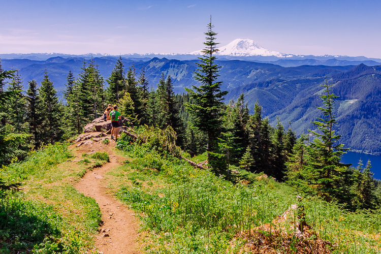
And then, there she is! Hello beautiful! Can you believe I’ll be standing on top (fingers and toes crossed) in less than two months? It seems both so far away and way too close. Also? So nervous!
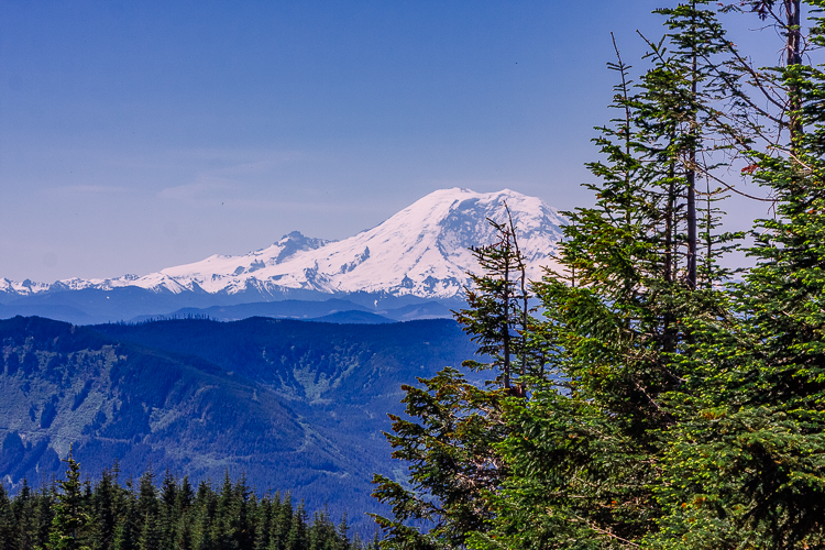
The views go on forever up here. This is what makes Mt Washington one of my favorite hikes.
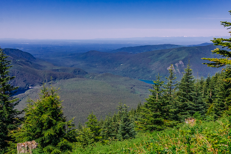
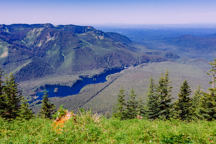
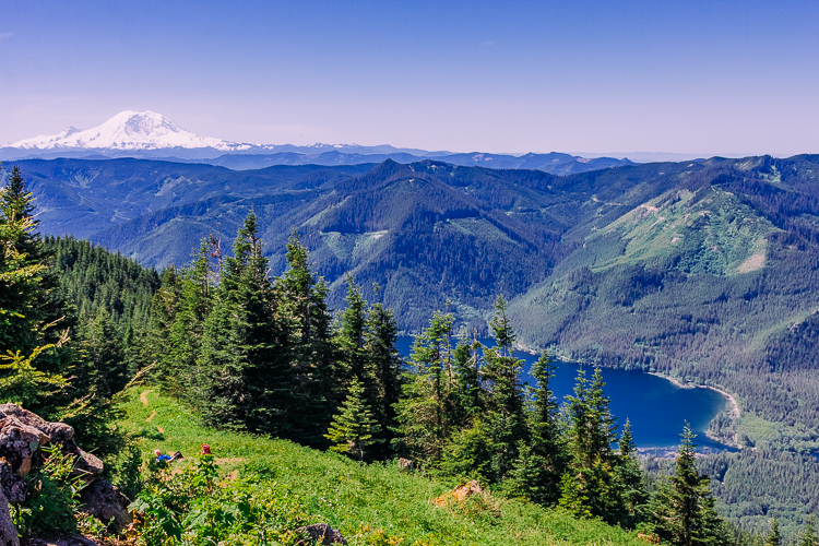
I could really go for a dip in that like right about now.
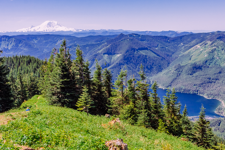
It never gets old. I mean, how could it? It’s majestic.
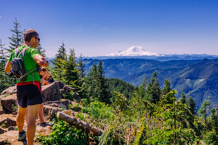
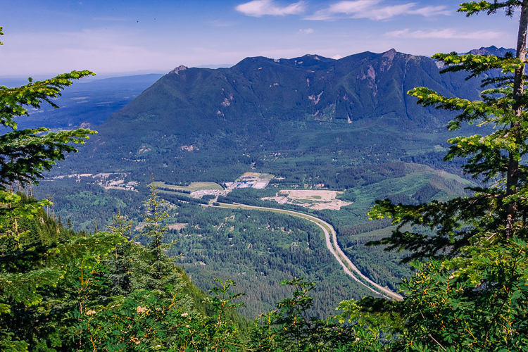
From the very tippy-top point, you have 360 degree views. The picture below is looking northwest over I-90.
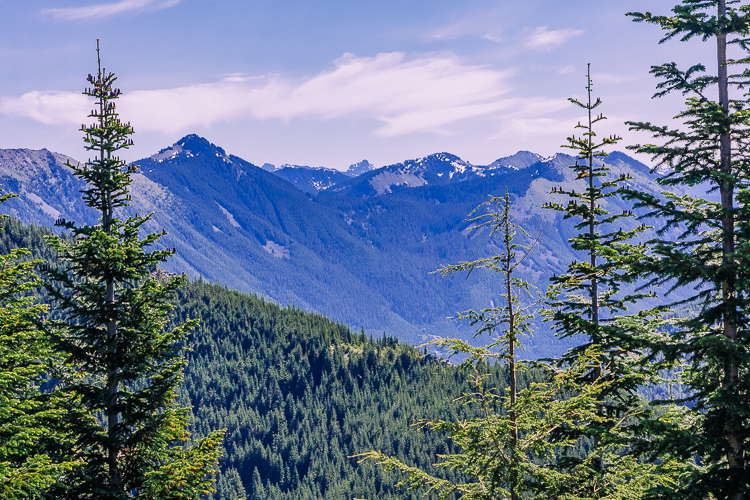
Looking southwest, over the Cascades.
And back south again, towards Mt Rainier. The route we’ll climb starts on the other side, comes across to just above Little Tahoma, the tiny peak to the left of Mt Rainier, and on up to the summit. I sincerely hope it’s a cloudless day when (yes, when) we summit!
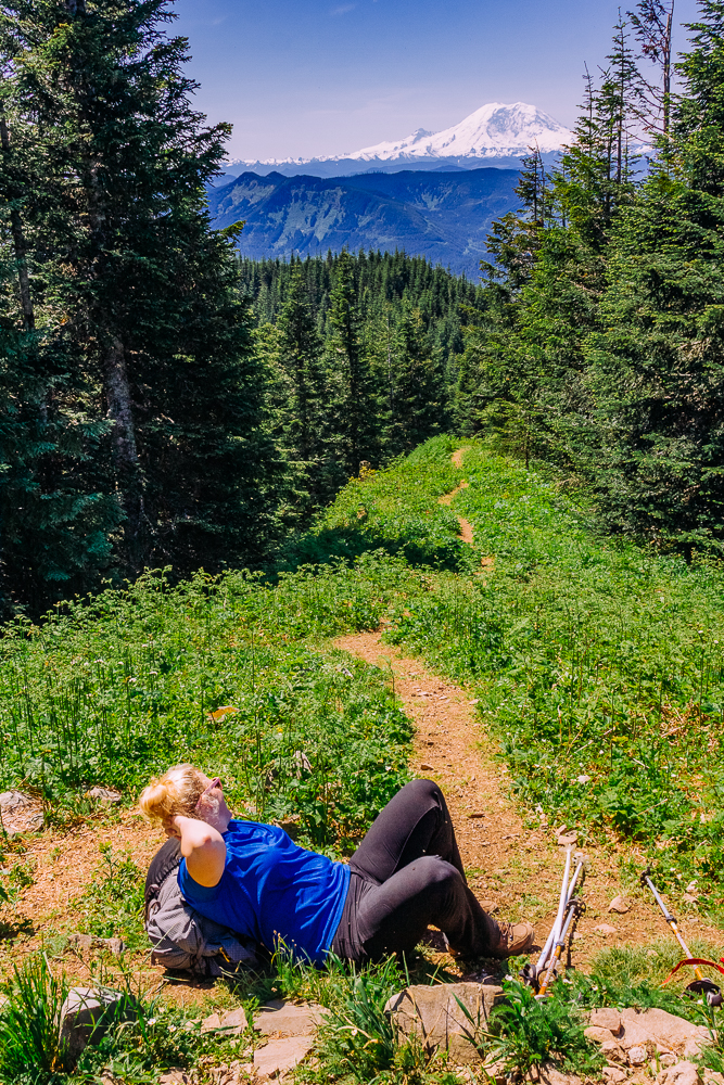
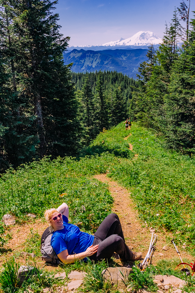
Lori relaxes and soaks up the views, grateful to be done. At least for the moment. We’re really only half way.
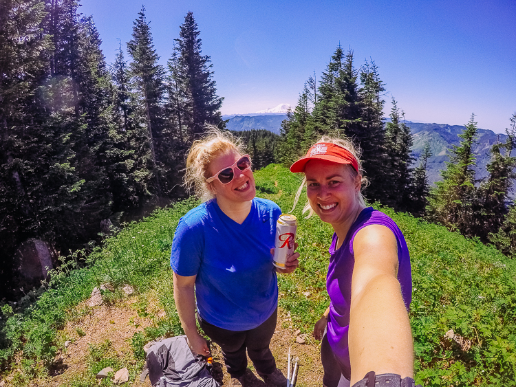
Unfortunately, we don’t stay too long at the top. The mosquitoes are really bad and I am so susceptible to them, I can’t stand still for too long. About a quarter mile from the top, I take about 20lbs out of Lori’s pack as it’s really paining her to carry so much. This puts me at somewhere between 60-70 lbs. It’s really hard, and the heat makes it even more uncomfortable, but it’s a good challenge for me, both physically and mentally. If I can carry nearly 70lbs downhill, 4 miles, in 90 degree heat, then I better be able to make it up the summit of Mt Rainier! Here’s hoping!


Those views are outstanding! Looks like a gorgeous day for it too.
They are some of my favorite views! And it was gorgeous day, but I’m such a wuss about the heat! 😀