After last weeks ridiculously hot hike, I’m so glad today is much cooler and cloudy. At 8.2 miles round trip and 3326ft of elevation gain, Dirty Harry’s Peak has similar stats as Mt Washington, but it’s a much rougher trail. Not many people know of this hike, so let’s keep it between us friends, shall we? To be honest, it’s not one of my favorite hikes. Since it’s not as well know, it’s not well maintained and it’s easy to get lost. There are also few switchbacks, which means you basically head straight up the mountain. But it does have some excellent views from the top, and I very much appreciate not having to leapfrog people all the way up.
As always, we get an early start. Ok, maybe I’m a little late. As much as I’m an early bird, I still find it hard to get moving first thing on the weekends. Even so, we’re at the trailhead by 730am. I’ve done this hike a couple times before, but I have a hard time finding where the trail starts off the road. After some back and forth, we finally spot it and make our way into the trees.
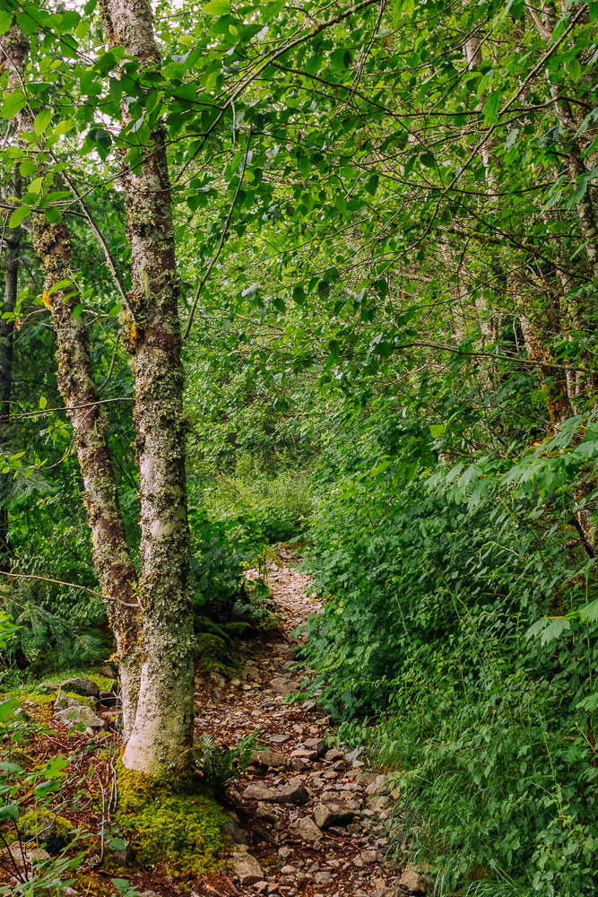
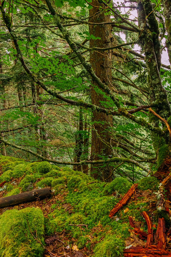
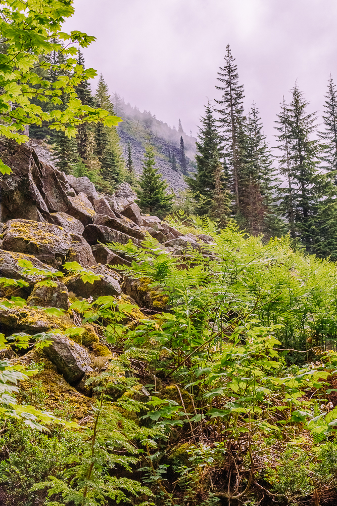
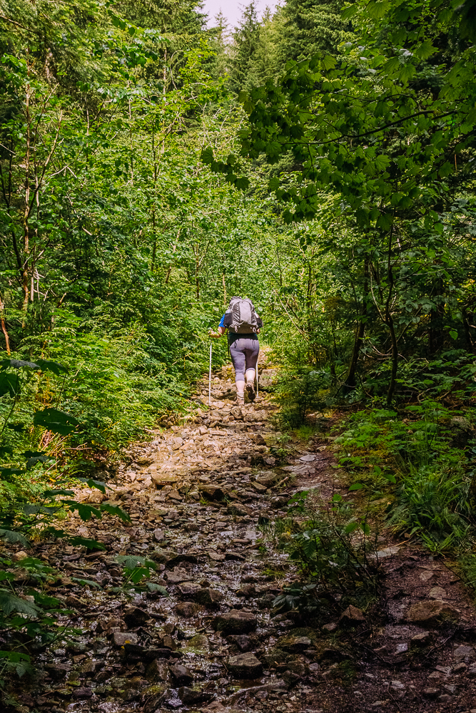
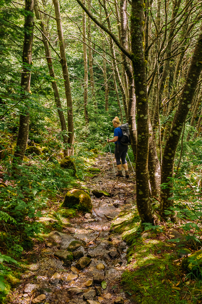
Another reason this isn’t one of my favorite hikes is that you are often hiking right up the creek beds, while the creeks are still running. Sometimes the water is higher, but fortunately for us today, the water level is low. It still makes the climb a bit tricky, and you really need to pay attention where you place your feet.
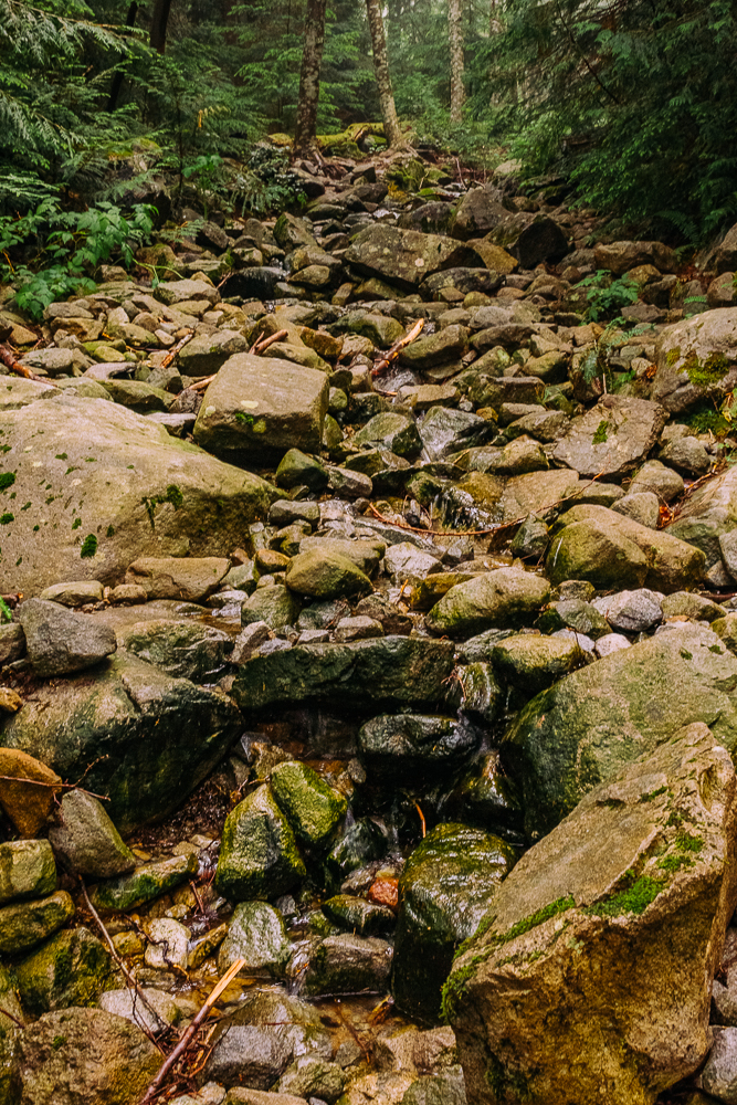
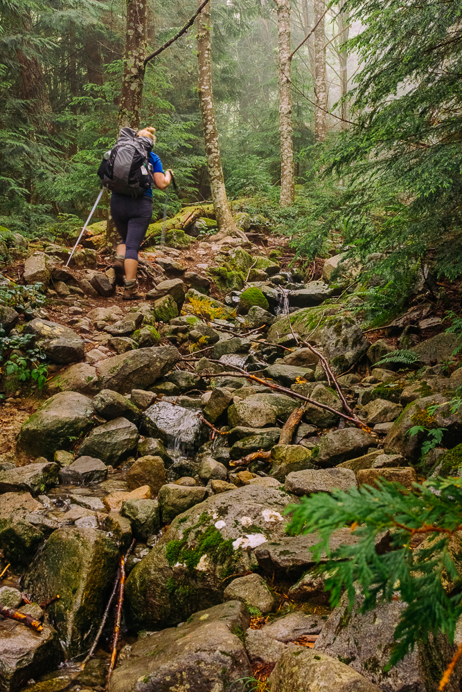
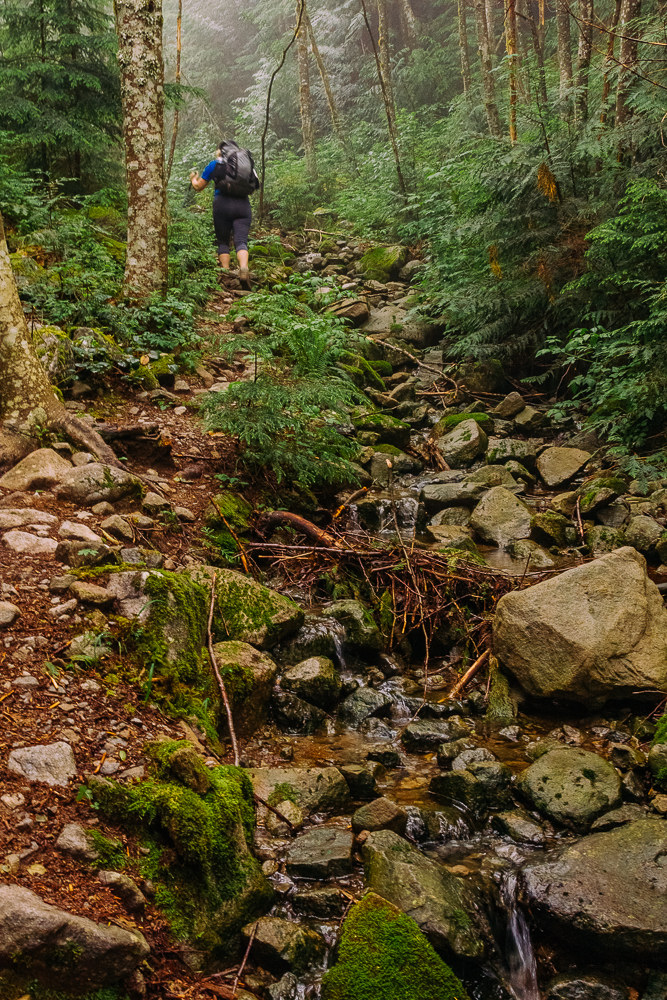
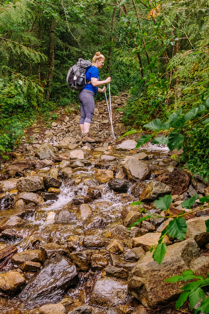
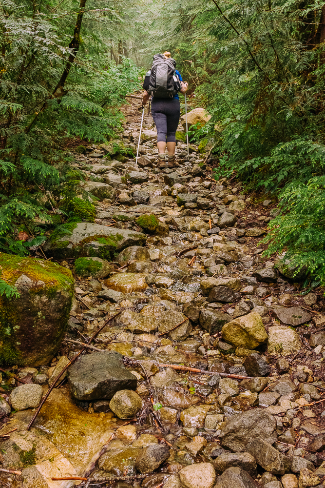
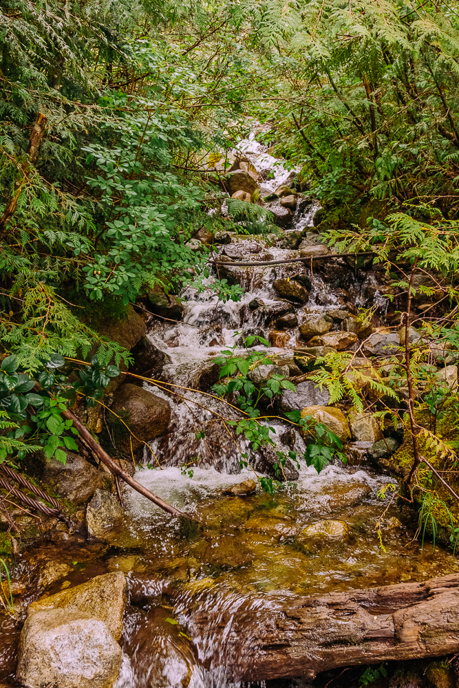
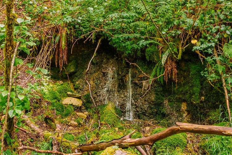
To be fair, I don’t hate this hike. It simply doesn’t rank high on the list of hikes I really enjoy. And I do find it to be particularly challenging in a way that the stats don’t really convey. At one point, we find ourselves in the woods with no trail to follow. I don’t remember this part from previous hikes. We turn around and walk about 10 minutes back the way we came and eventually find the right trail again. So frustrating!
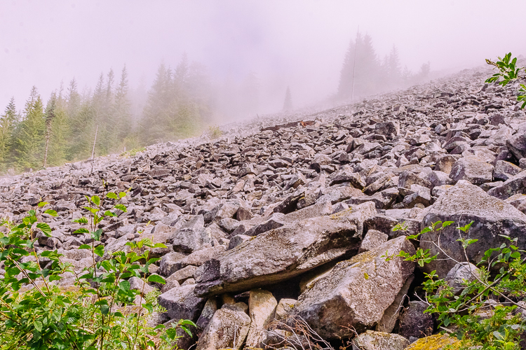
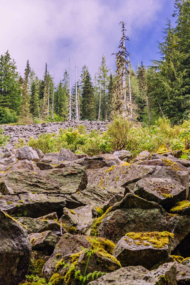
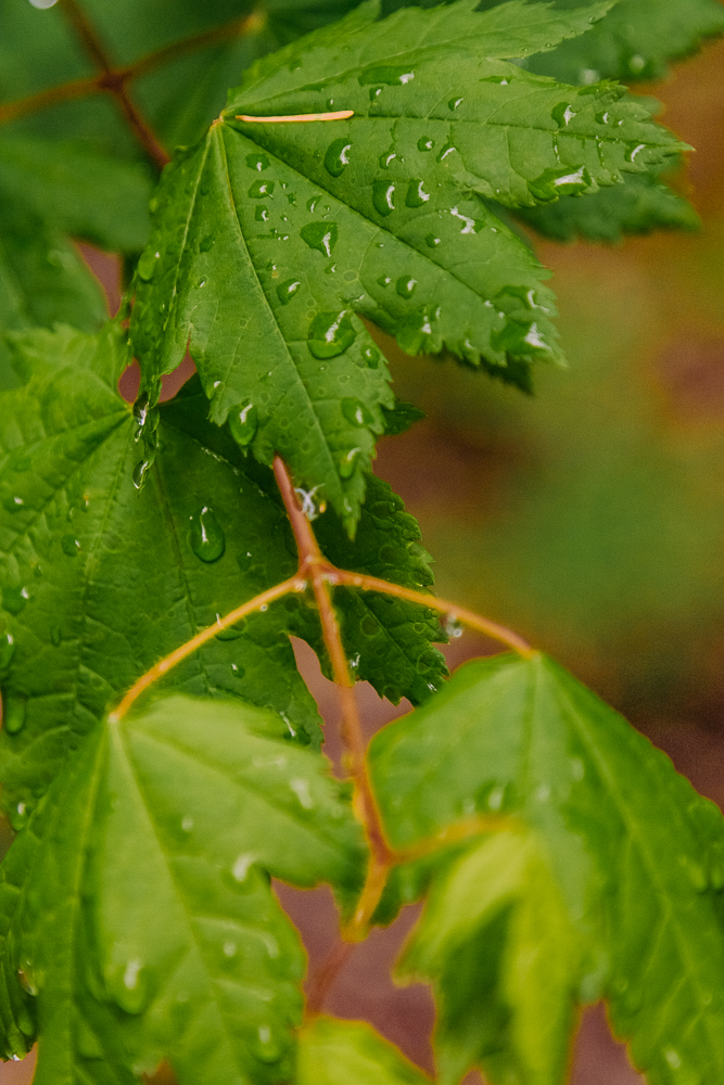
During one of our breaks, I give Lori a little photography lesson. She’s not super interested in it all, but she is curious how the focus works. I spend several minutes photographing these leaves with the droplets of water to show her.
Speaking of Lori, with less weight in her pack and the much cooler temps, she’s having an easier go of it today. I’m glad because after last week, I think she really needs this morale victory.
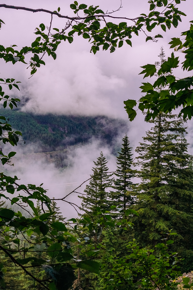
After what seems like days, but is really only 4 hours, we finally make it to the top! Thank goodness the clouds have lifted so we can see the view!
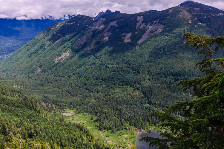
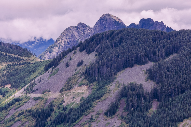
The “summit” has a very sharp drop off, so we have to be very careful. It’s hard to tell in pictures, but I try to capture the sense of it.
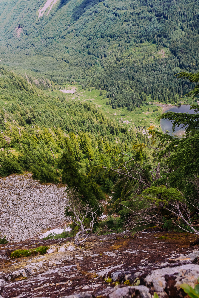
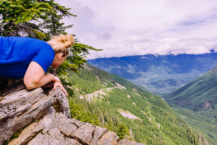
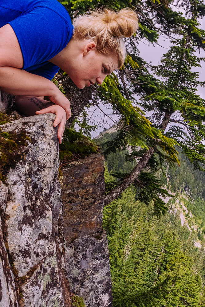
I’m not sure if there’s a way to get to the lake below, but it looks like a great place for a swim, maybe even some camping.
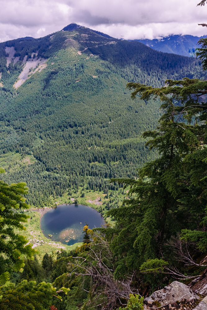
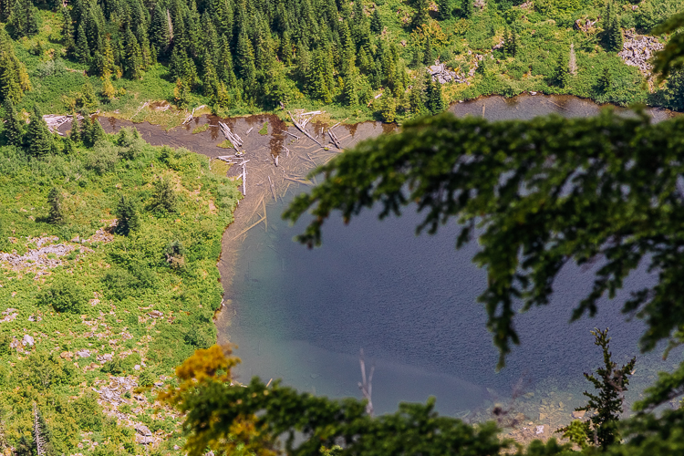
We spend a good half hour up here, resting, snacking and enjoying the views. There’s another view point looking off to the west if you walk along the ridge line for several hundred feet. We head over to check it out, but it’s pretty socked in.
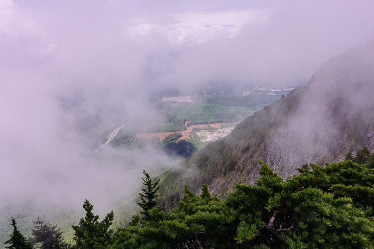
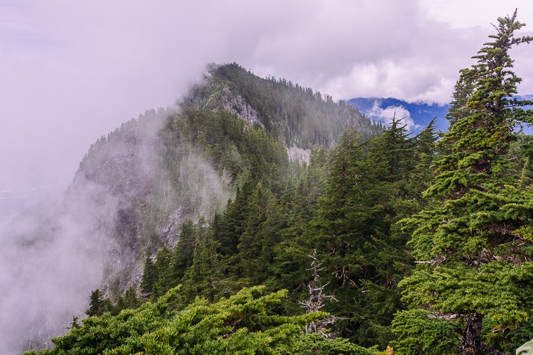
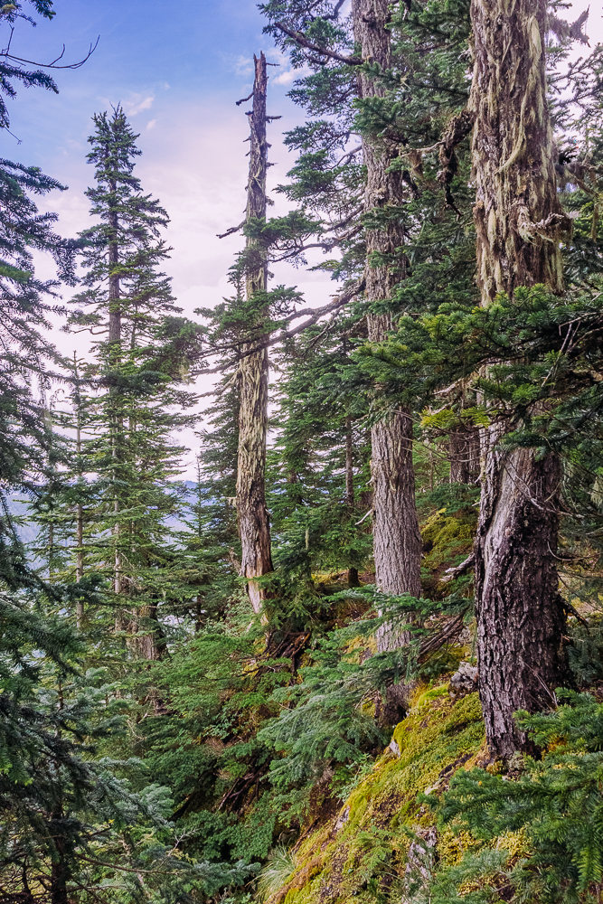
Now it’s time for the long trek down. Sometimes I think this is the most difficult part of hiking. While it doesn’t take as much strength, there’s a lot of strain on my joints and all the little stabelizer muscles that aren’t used with everyday walking. Why isn’t there just a big slide to get us back down to the bottom? That would be so much fun!
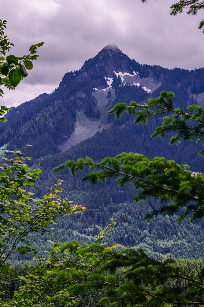
Overall, it takes us 8.5 hours to complete the entire hike. It’s a bit on the slow side, compared to where we probably should be for Rainier, but we still have a month left of training to go, with each hike getting harder and harder. I think we should be in good shape by the time the climb comes around. Up next, McClellan Butte!


