El Salvador isn’t exactly on the tourist circuit, so when I started searching for information on hiking the Santa Ana volcano, I found very little. There are a few blogs out there that have some details, but not as much as I was looking for. I’m going to try to remedy that here. It’s a long post with a ton of pictures. If you’re thinking of doing this hike, I hope you find this information useful. And if you have any questions, feel free to leave me a comment!
Since we’ve hired expensive transportation for our longer trips, we decide to take the bus for this trip. The cost is $0.90 each way. So cheap! It makes me feel guilty for spending so much on our hired driver. But at least I know I’m helping someone earn a living.
There are two bus stations in Santa Ana, so it’s important to make sure you go to the right one. They are close to each other though, so if you go to the wrong one, you should still be able to make it to the correct station in time. The picture below shows the location of both, with the correct one highlighted.
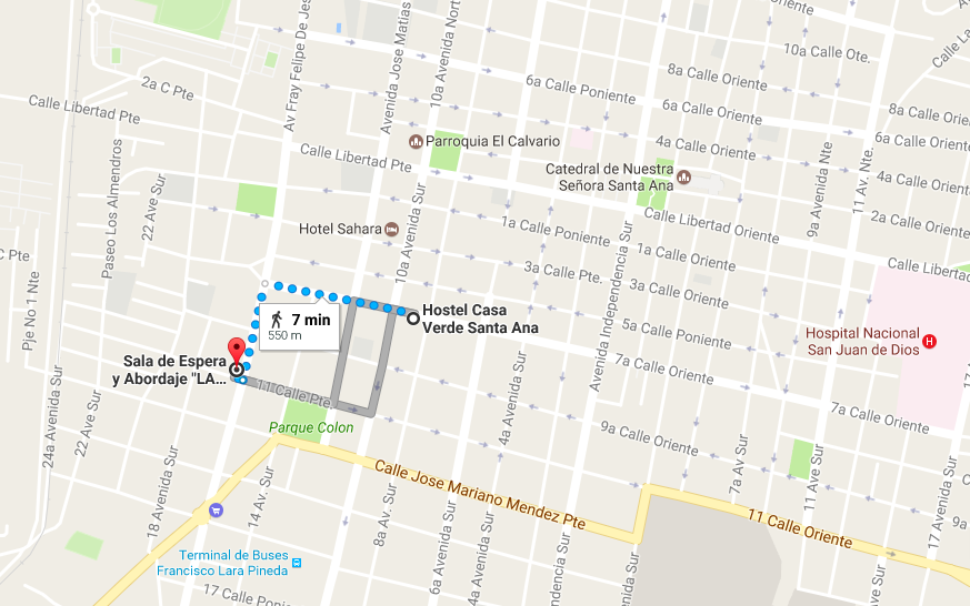
Carlos (our hostel host) tells us to make sure we’re at the station by 7:30am, though there’s probably about 10 minutes of leeway. But we don’t want to miss it, so we head out early. We purchase our tickets at the desk. I state that we’re going to Cerro Verde, but I’m sure saying “Santa Ana volcano” works as well. Then we sit and wait for our bus to be called.
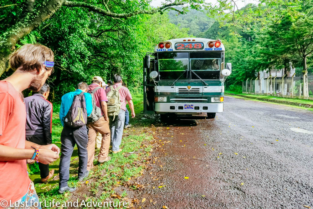
10 minutes later, a bus official comes in to let us know our bus (#248) is here and we can now board. I feel exactly like I’m back riding the bus going to elementary school. Chicken buses are decommissioned school buses from America that are sent to countries like El Salvador for public use. They are given a colorful makeover and are ready to go. There isn’t much leg room (unsurprisingly), and I’m pretty sure the shocks have never been replaced, but for $0.90, we make do.
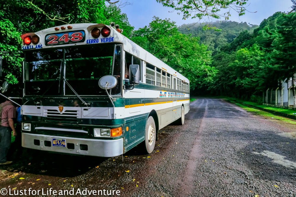
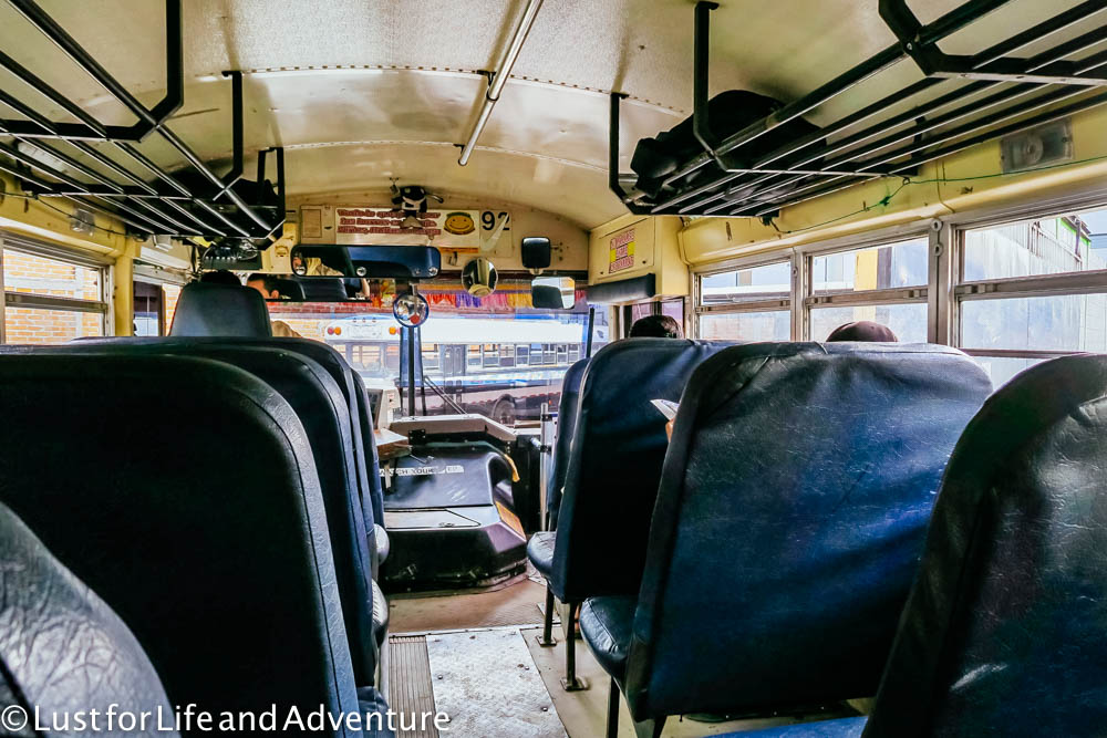
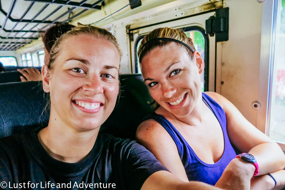
The ride takes about an hour and a half, twisting and turning through the mountains, stopping frequently to pick people up. Vendors cycle through selling various snacks and drinks to riders. I read for most of it since Emma is easily car sick. I don’t want to be leaning over her taking a million pictures that probably won’t turn out well anyway.
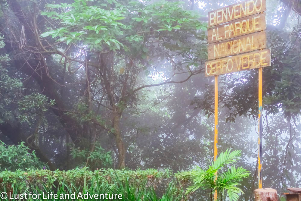
The bus stops at the Cerro Verde park entrance between 9 and 9:30am. A park ranger (or some sort of official) gets on to let us tourists know that this is where we need to get off to hike the volcano. This is the part of the trip where a stronger grasp of Spanish would really come in handy. I know enough to order food and ask for a room, but beyond that, I’m limited. Fortunately we meet a girl from Germany who speaks Spanish (and English) fluently, so she helps us out.
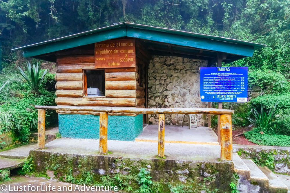
We have to pay $3 to the guy in the building below as our park entrance fee.
Then we walk up the road a ways to the main starting point.
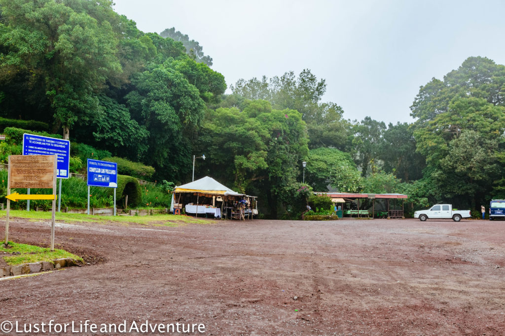

The picture above shows where to meet the guides. At least as of 2016. We saw signs of a larger complex being built, which would seem to indicate that tourism here is expanding. Perhaps in a year, there will be a much fancier guide house.
Our guide doesn’t speak any English either, but Romina, our German friend, translates for us. She says that the hike is supposed to begin at 11am, but due to the clouds and threat of electrical storm, we may not be able to go at all. Oh no! I will be so bummed if we came all this way and aren’t able to do the trek.
If hiking isn’t your thing (or your trip is canceled), the gardens of Cerro Verde are quite lovely. There looks to be plenty of funny sculptures and walking trails to enjoy them. And I’m sure they are even better in the sunshine.
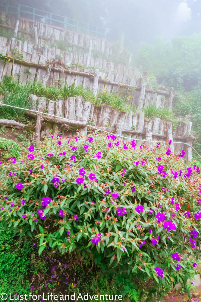
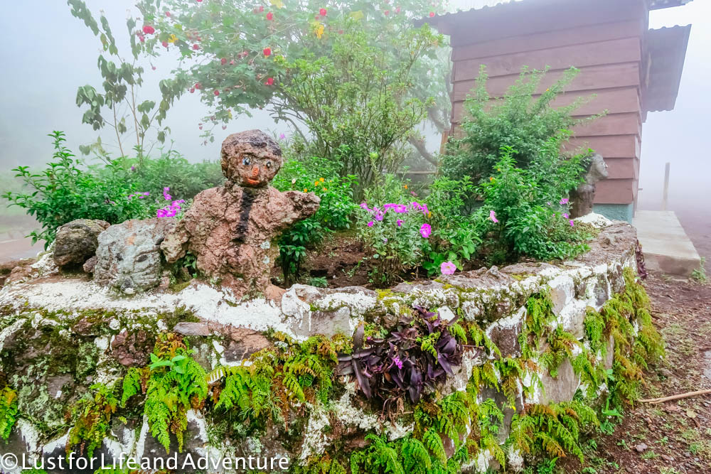
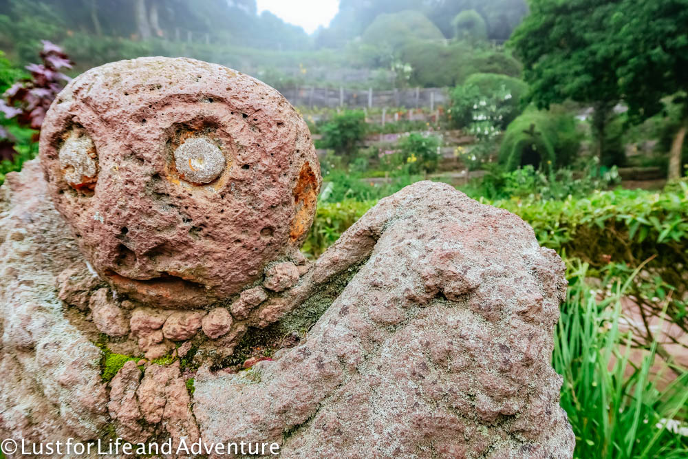
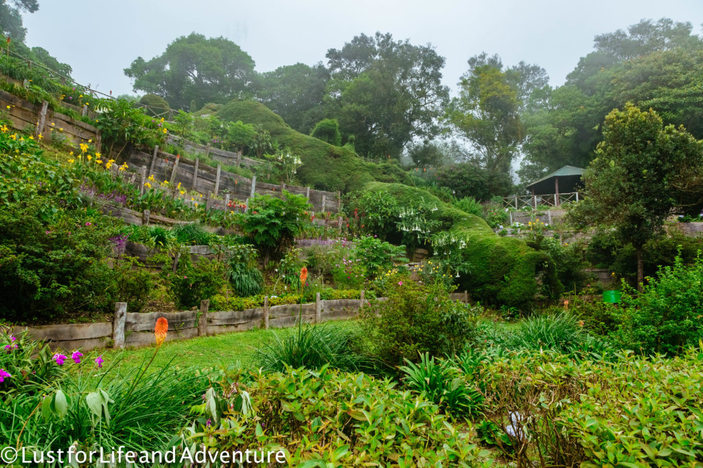
While we wait for the weather to clear a bit, we head over to the little cafe for a cup of coffee.
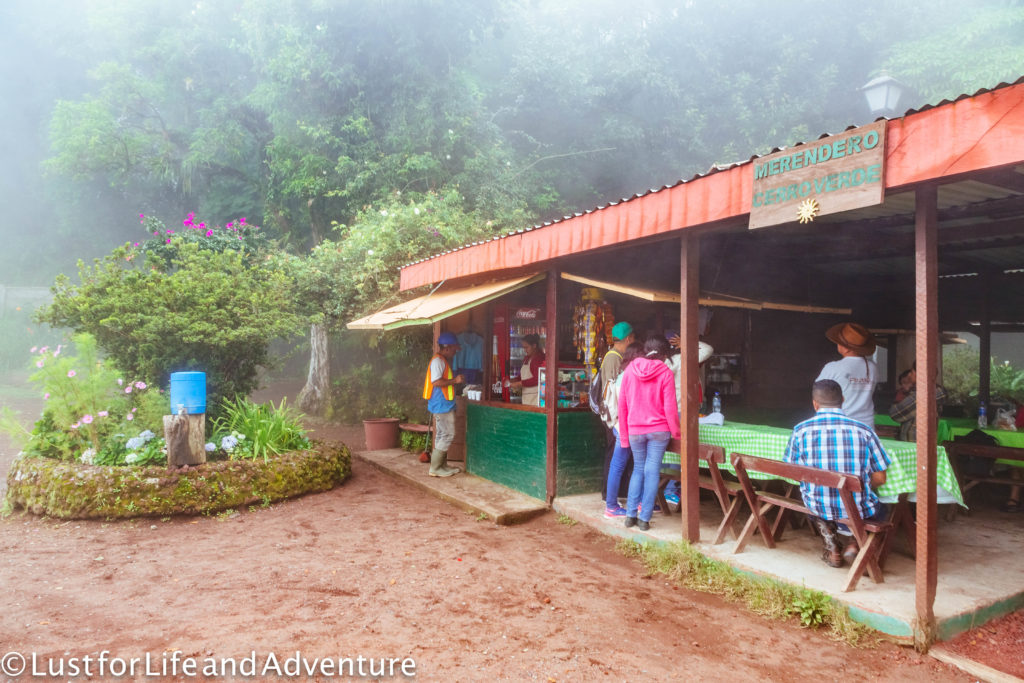
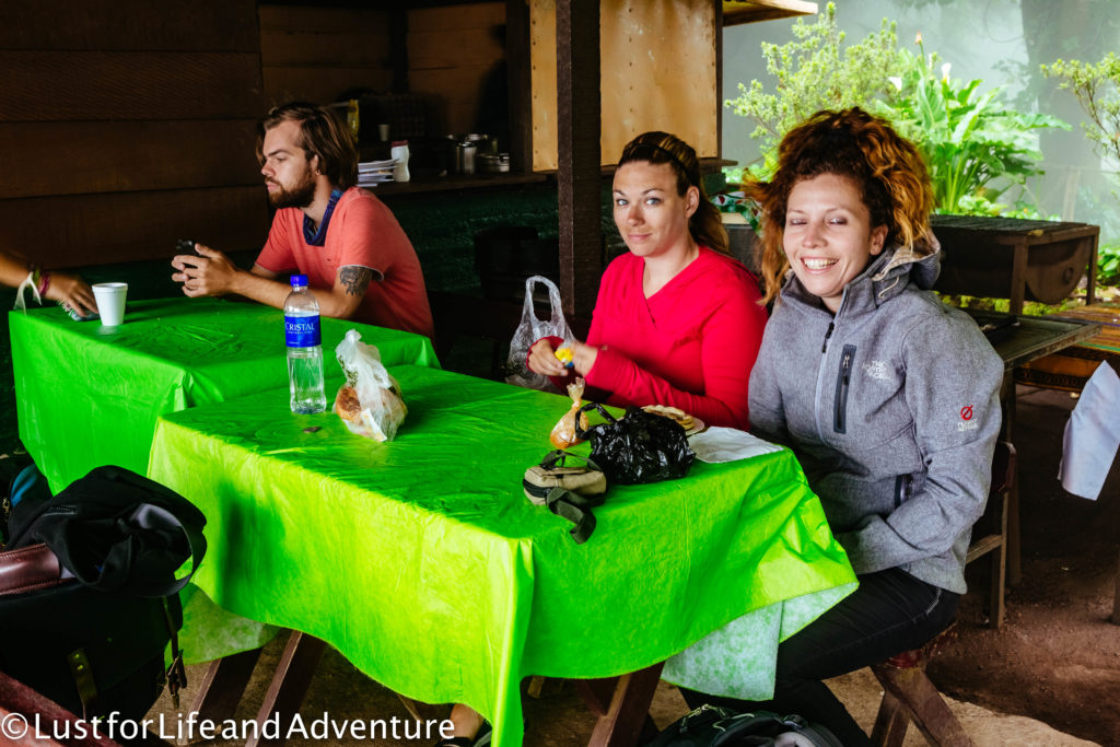
There are two other travelers waiting as well, from Australia and the Netherlands. We strike up a conversation, all hoping we’ll be able to make the trek. The clouds descend and lift, as do our hopes. Stop toying with us clouds!
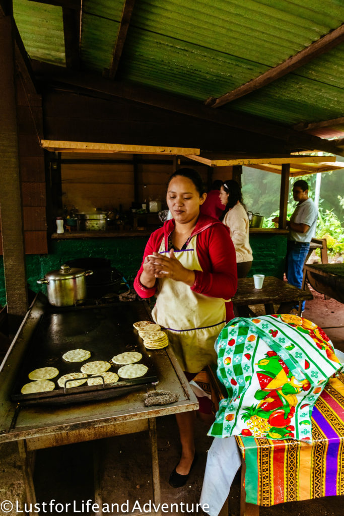
A woman starts making pupusa’s as we leave. I would love to have had one, but they aren’t ready in time.
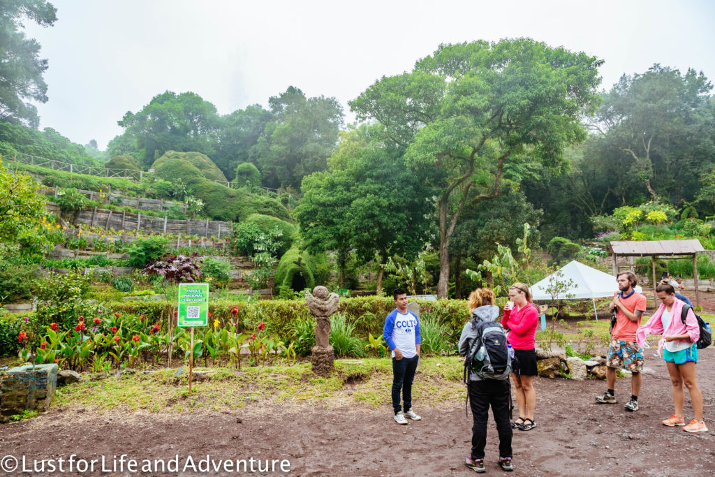
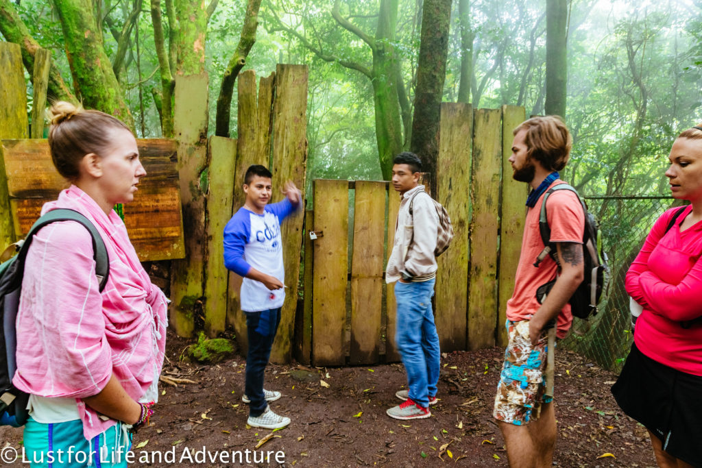
At last our guide says we can go! Yay! We all gather round to hear details of the hike before setting out. Well, we listen, but we don’t understand (I have signed up for a Spanish class now that I’m home to remedy this type of situation in the future). Hopefully everything will be alright.
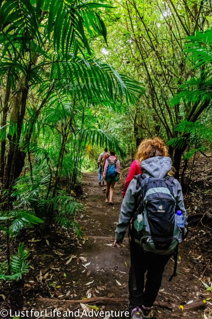
Down, down, down we go. Every step makes me wonder how many more we’ll have to take to go up again. Or perhaps this is some sort of all downhill hike? Not sure how that would work, but I could be OK with that! (Spoiler – it’s not.)
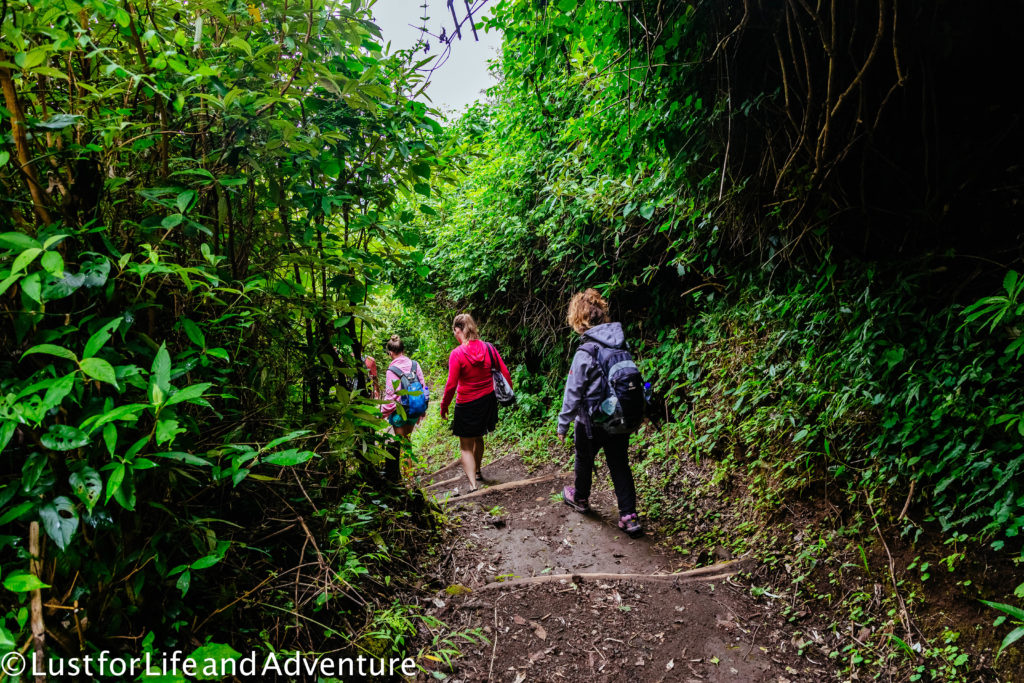
We are apparently taking the scenic route back to the main road the bus brought us in on. Seems a bit weird that we have to go up so far to meet our guide, only to have to retrace our steps down again. Perhaps the land around the real start of the hike isn’t available for building the guide house?
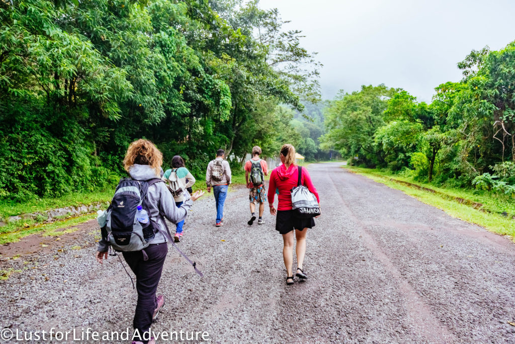
But soon we’re on the right track and the hike can officially begin. This is also where we pick up two police officers to accompany us to the top. Apparently this area used to have a problem with thieves attacking climbers to steal their stuff, but since the police escort began, it hasn’t been an issue. I do feel kind of bad for them though, hiking in their police boots and uniforms, carrying guns. Sounds less than ideal.
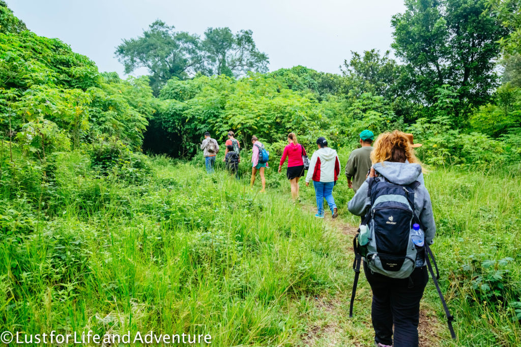
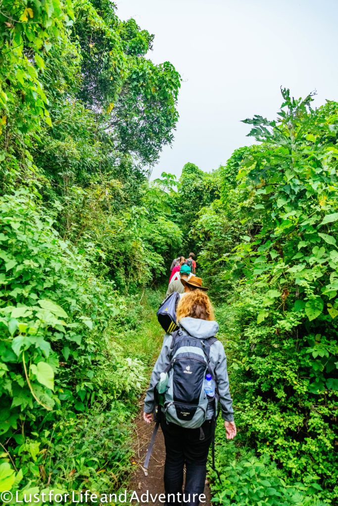
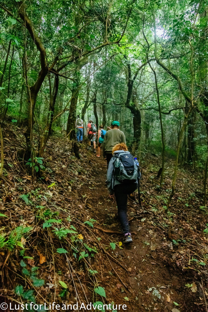
Wait, it’s awfully steep! Did I really sign up for this? (Says the girl who climbed Kilimanjaro and most of Rainier.)
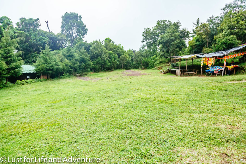
Less than a mile in, we stop at a clearing with a few buildings. This is where we must pay the local farmer whose land we’re hiking on. The cost is $6, the most expensive part of the whole journey. There is also bathrooms and snacks for purchase if we need them.
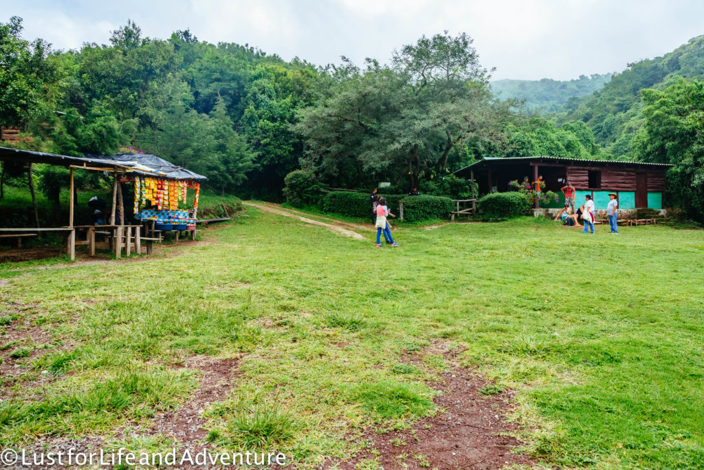
After 10 minutes, we’re back at it. We have 3.3km (2 miles) and 400m (1300ft) to climb. It should take us about an hour and a half to get to the summit. Those stats make it sound like a fairly easy hike. I’m not sure if it’s the humidity or something else, but I’m already winded and covered in sweat. I feel so weak!
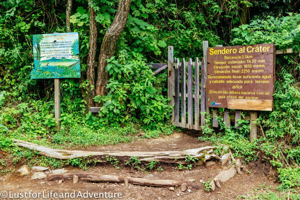
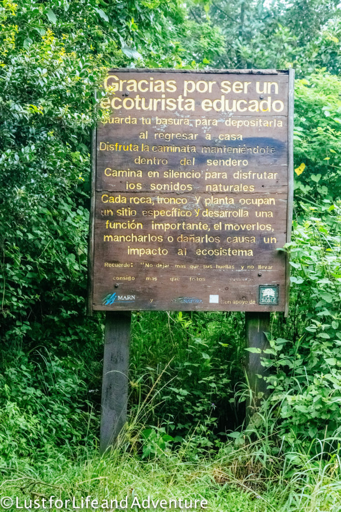
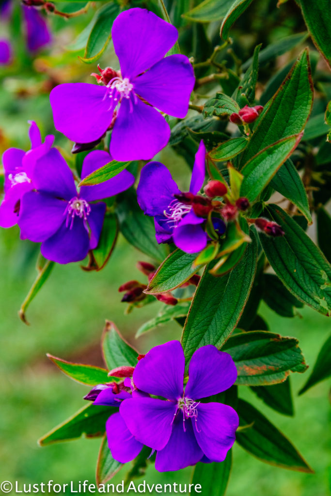
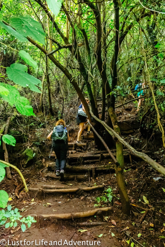
I admit, I’m finding the hike quite a bit more challenging than I expected. Perhaps because I just spent the last 10 months training to climb Mt Rainier, I thought I would be in better shape than it feels like I am. I guess that month spent doing nothing on the couch after the climb really did take a toll.
I end up putting my camera away for most of the hike up and only take it out at a quick rest stop. Breathing has taken over as top priority.
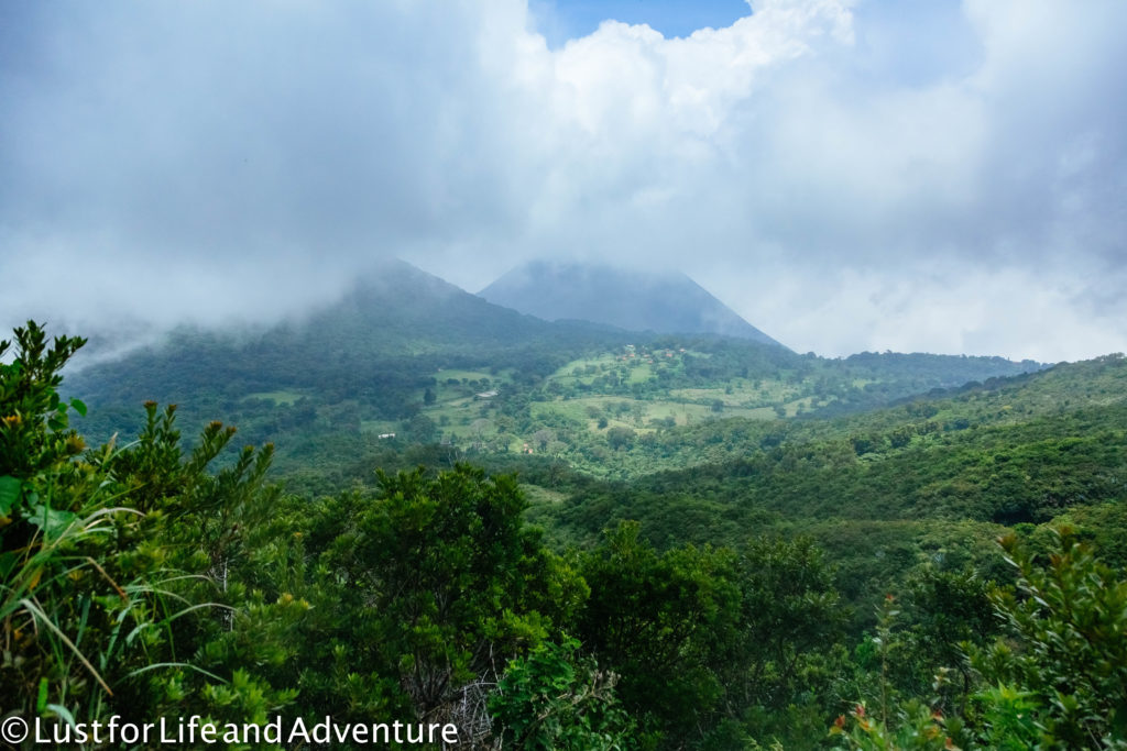
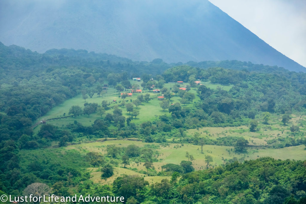
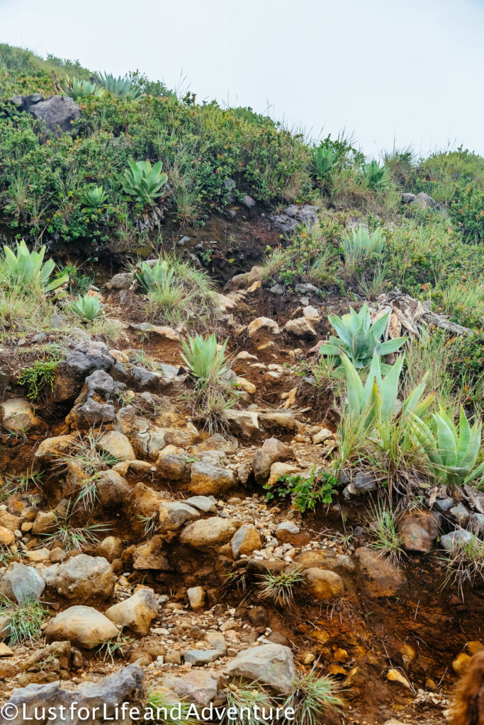
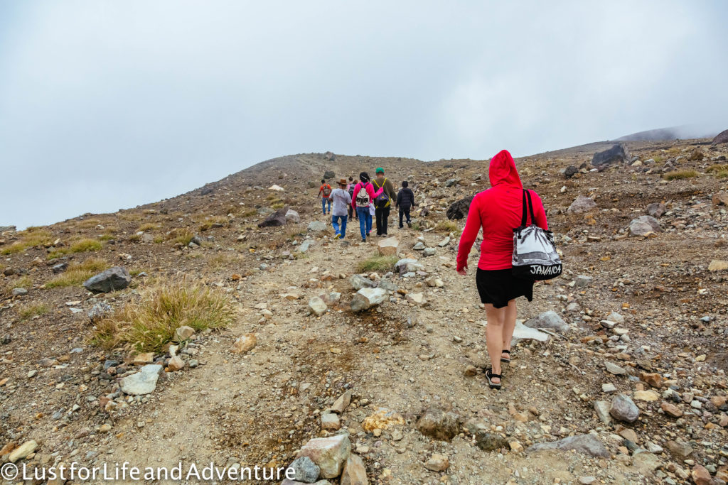
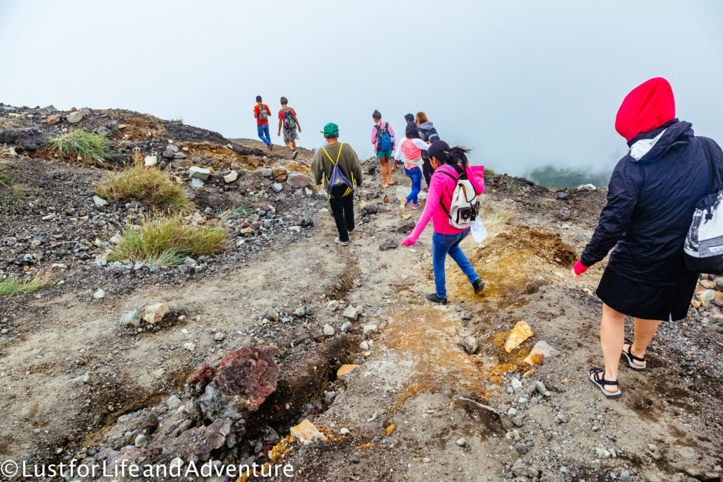
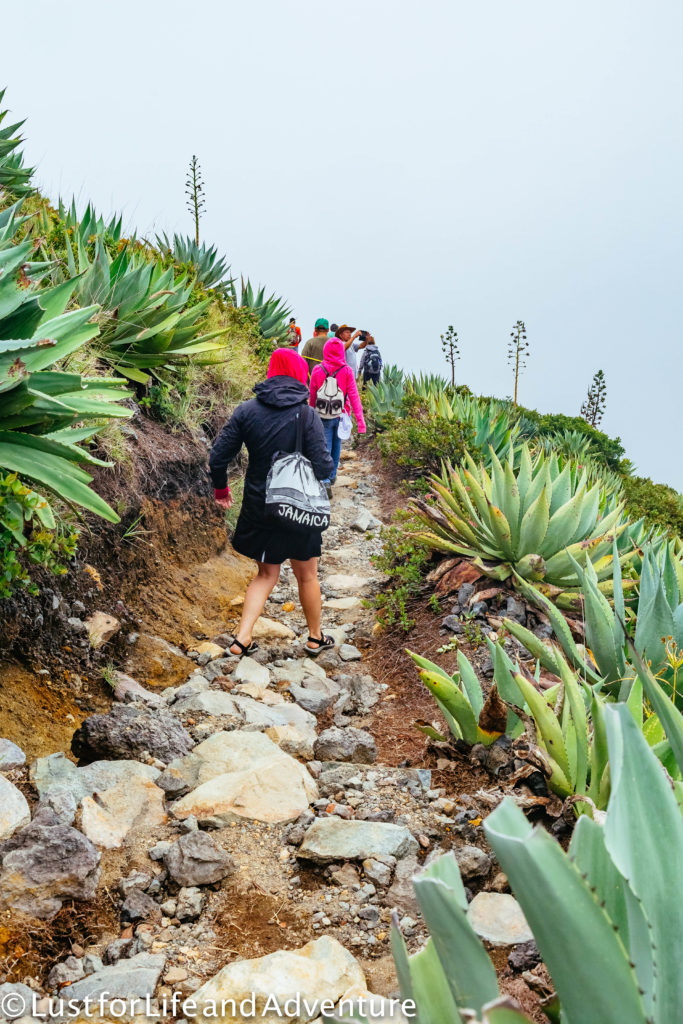
Similar to Day 2 of my Kilimanjaro climb, the treeline abruptly ends and we’re hiking in high alpine terrain.
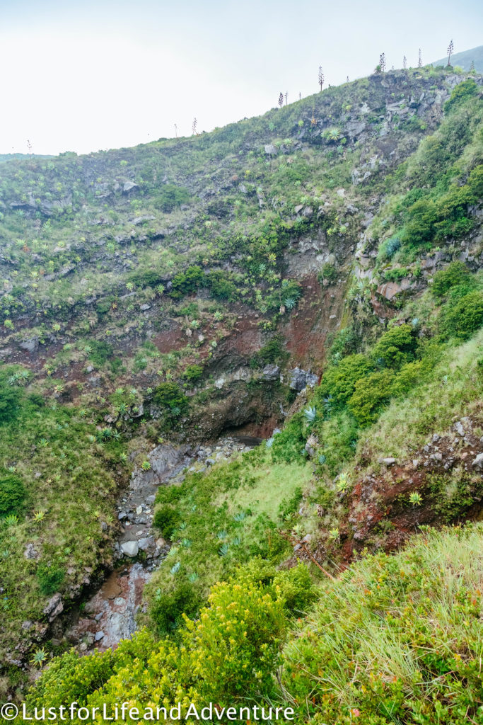
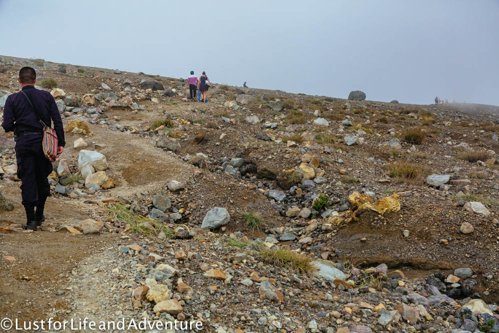
Could that be it? Are we almost to the top? It’s hard to tell in all this fog. Also, check out what the police officer is wearing. I’m so glad I don’t have to hike in that. They spend most of the time ambling along behind us, in no hurry to be anywhere. But I don’t feel as bad about my own fitness when I have to stop and catch my breath. They are sweating as much as I am.
At last, we made it! I was beginning to think I might not. The summit sits at 2250m (7381ft), a decent height, even for this mountain girl.
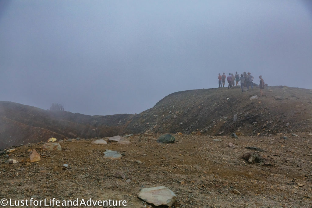
It’s pretty disappointing that there is no view of the surrounding area due to the thick clouds. On a clear day, you can see for miles, including Lake Coatepeque.
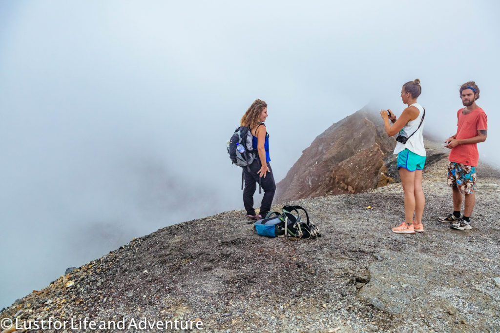
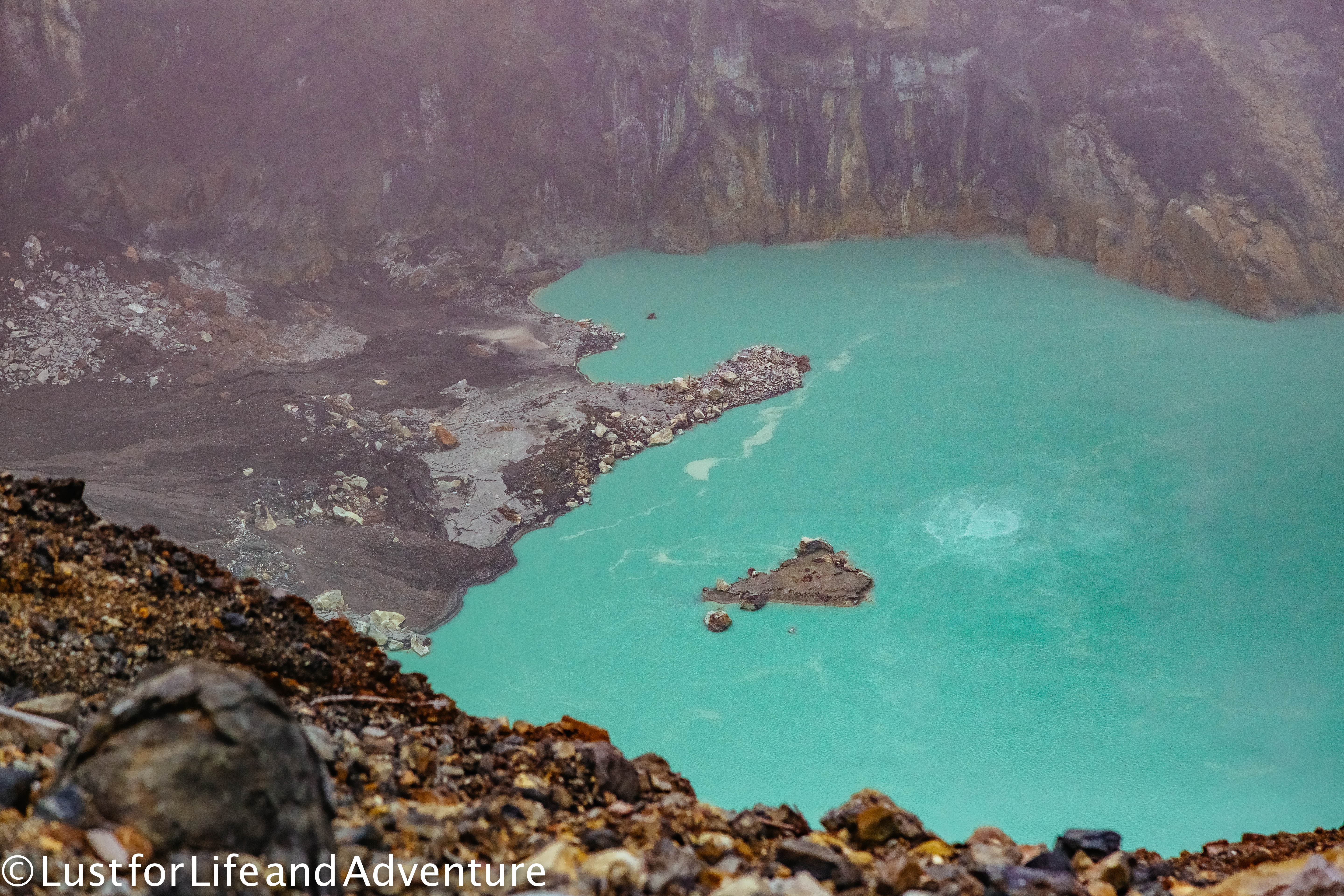
But at least we can still see the turquoise waters of the lake in the crater. Does it have a name? I don’t know. A brief Google search didn’t return anything, so perhaps not.
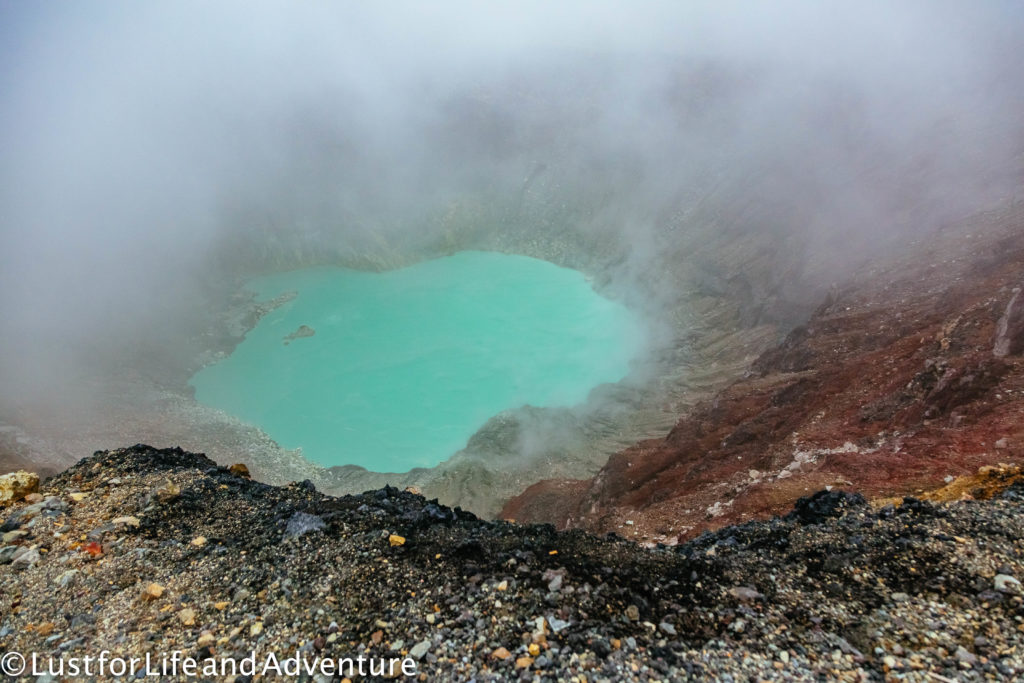
Again, I wish I spoke more Spanish. Our guide explains something about what causes the turquoise water in the crater, but I don’t understand much of it.
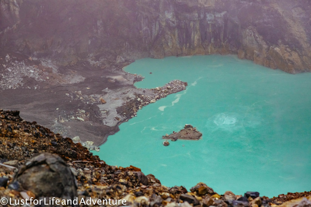
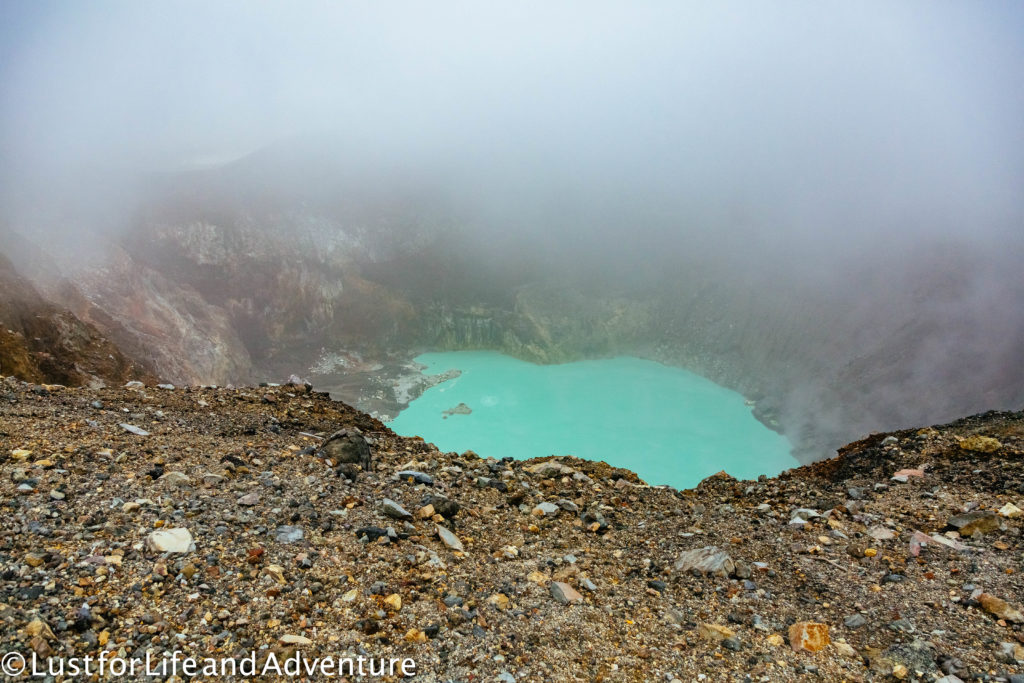
It’s a bit cooler up here. After sweating all the way to the top, an extra layer is helpful at this point.
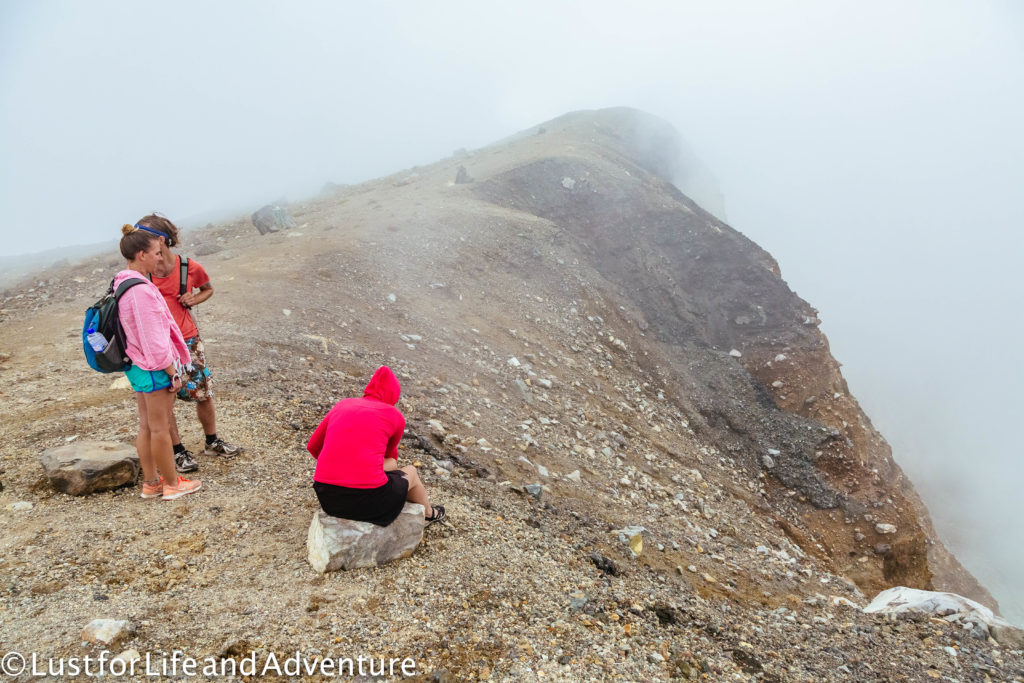
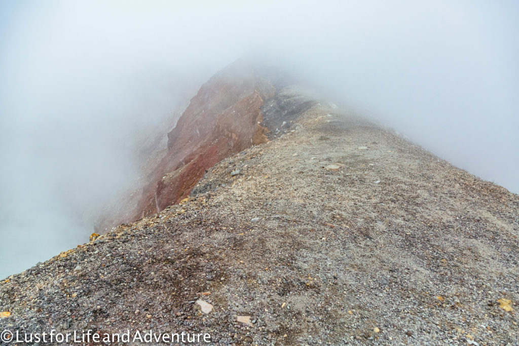
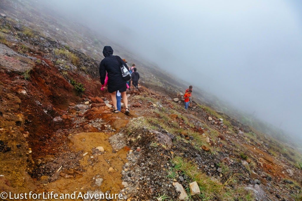
We spend maybe 20 minutes at the top since there isn’t much to see and the clouds are making it rather cold. It’s plenty of time to eat a quick snack and take a few photos. We’re eager to get down before the evening storm starts as well.
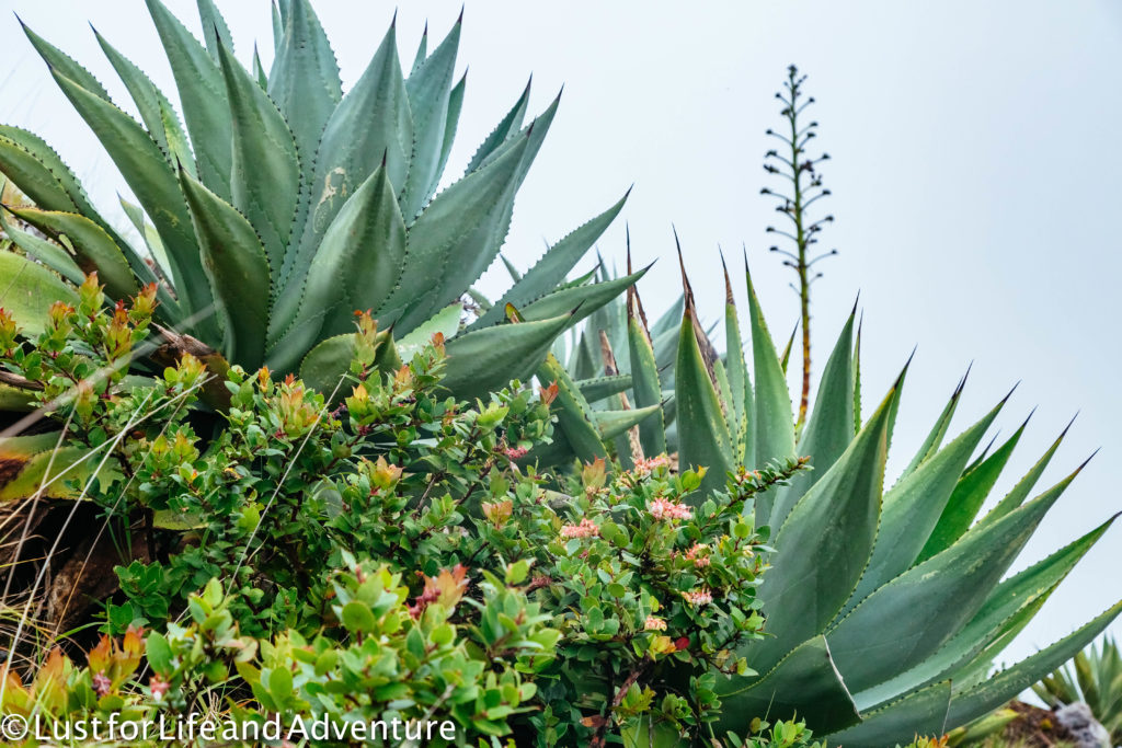
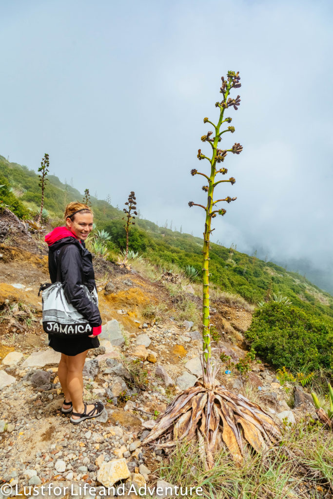
These aloe plants are so big! The stem is almost twice as tall as us.
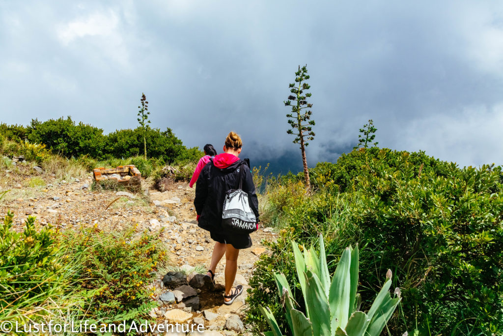
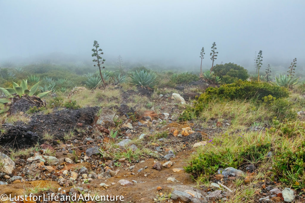
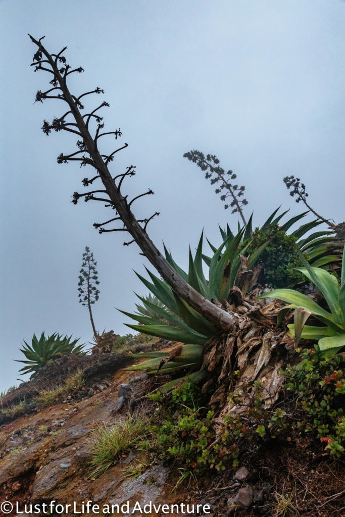
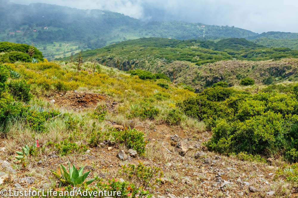
We make it back down just as the rain starts to fall. As we walk to the bus stop, the skies open up and it begins to pour. Thunder and lightening fill the sky, louder than I’ve ever heard. We take cover in the shelter in the photo below as the street turns into a river. Thank goodness we made it just in time!
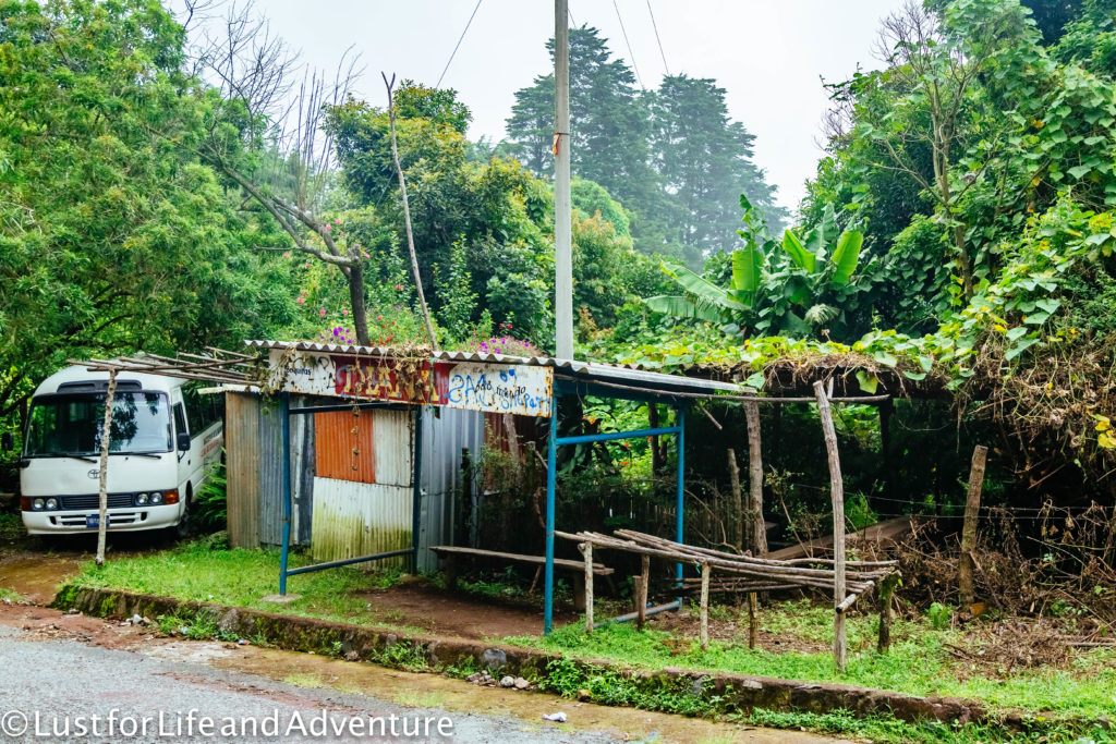
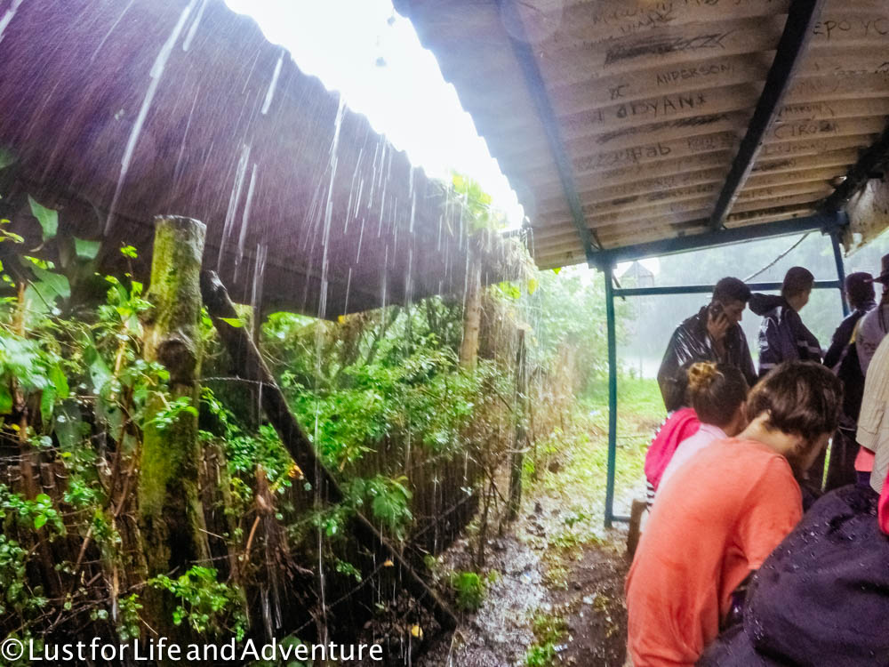
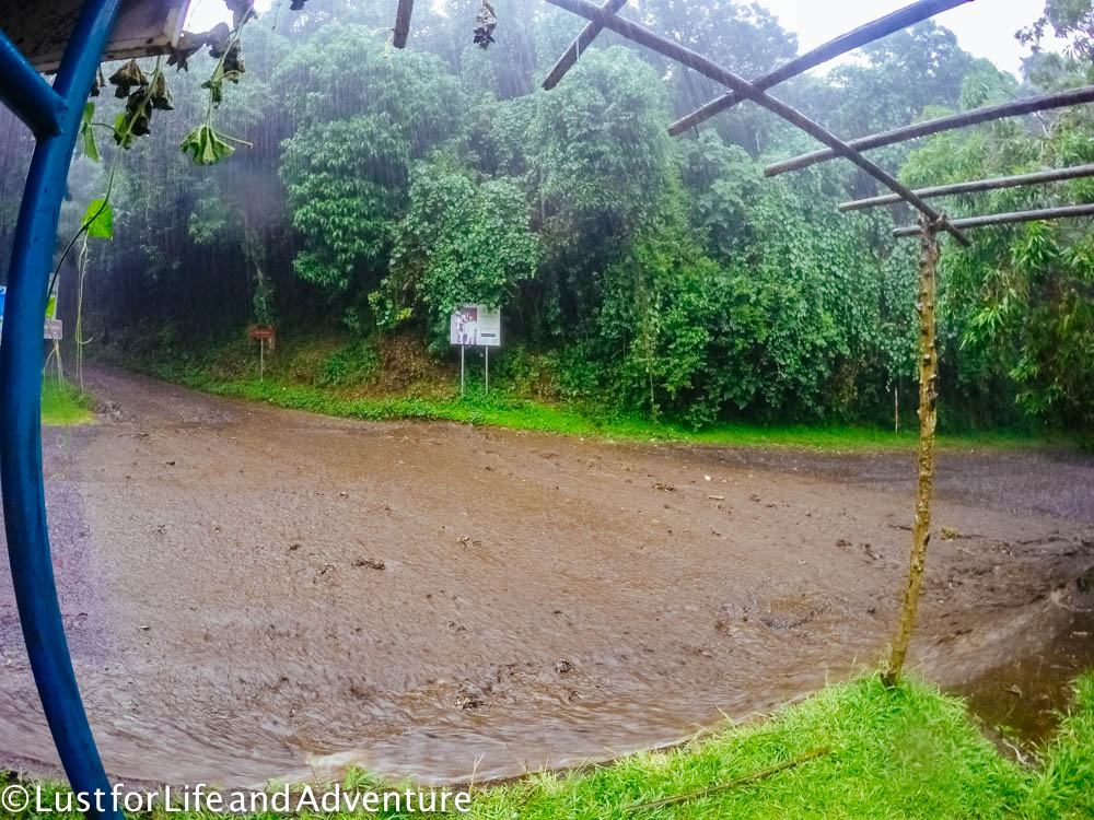
When the rain finally slows, we walk up the street a short ways to a little cafe.
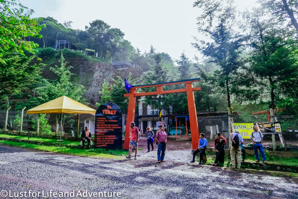
There we order coffee and play a Dutch card game (similar to Uno) to pass the time until the bus comes. These are some of my favorite moments while traveling. Meeting like-minded people, learning parts of their culture while we share experiences in a foreign one.
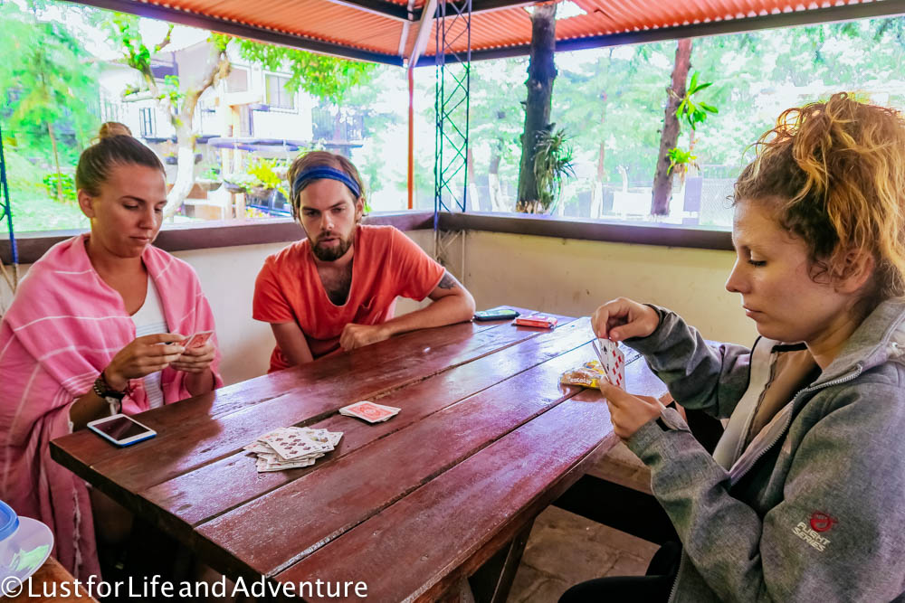
We watch for the bus coming from Santa Ana. After it passes, we know we have a few minutes for it to reach the end, turn around and begin the journey back down. It arrives right about 4:00pm.
The ride back is much quicker as we’re going downhill most of the way. It’s starting to get dark when we arrive in Santa Ana. We say goodbye to the friends we made and wish them well on their travels. I hope to one day travel long-term like them.
While this is a full day activity, we only spend about 3.5 hours hiking. Due to the bus schedule, we spend a lot of time waiting around, both before and after the hike. But that downtime allowed us to get to know our fellow travelers, and that is definitely worth it.
Emma would tell you that this hike isn’t worth it. It’s a lot of work for what ended up being a small reward. Perhaps a clear day would have been much better. But I disagree. I really enjoyed it, even though it was harder than expected. I found most of the hike above the trees to be quite beautiful, and the lake in the crater was really cool. It definitely would have been more enjoyable on a nice day, but it probably would be hotter then, too.
The total cost for today is $12.05 – $0.90 each way for the bus, $3 park entrance fee, $1 to the guide, $6 to the farmer for using his land, and $0.25 for coffee. Definitely reasonable for hiking the Santa Ana volcano.
A few extra tips –
- Bring sturdy footwear. I used trail runners and Emma had Teva sandals. The trail gets rocky at times, and slick at others. It’s not a long trip, but good shoes will definitely help.
- The summit can get a bit chilly. An extra sweater in your pack is probably a good idea.
- Pack some light food and plenty of water. There are a few places to buy chips and other snacks, but it’s not cheap or filling.
- Don’t let the guides hurry you down if you want to stay longer. The bus doesn’t come until 4pm, and we were down by 2:30. You definitely won’t miss your ride back if you want to get an extra photo or two.
- This trip can also be done from Juayua, as the volcano is about halfway between. Aside from taking a different bus, the rest of the trip should be the same.


